
Esri helps UDOT consolidate maps into single platform

Utah Department of Transportation (UDOT) has launched a new website that consolidates hundreds of traffic and infrastructure maps on a single platform, following an open government initiative touted by the state. “Utah views transportation infrastructure as the property of its citizens,” said Terry Bills, global transportation industry manager for Esri. “They paid the bills. They should be able to access this type of information.
September 10, 2014 Read time: 2 mins
ITSWC 2014 Master Avatar

Utah Department of Transportation (UDOT) has launched a new website that consolidates hundreds of traffic and infrastructure maps on a single platform, following an open government initiative touted by the state.

“Utah views transportation infrastructure as the property of its citizens,” said Terry Bills, global transportation industry manager for 50 Esri. “They paid the bills. They should be able to access this type of information.” 

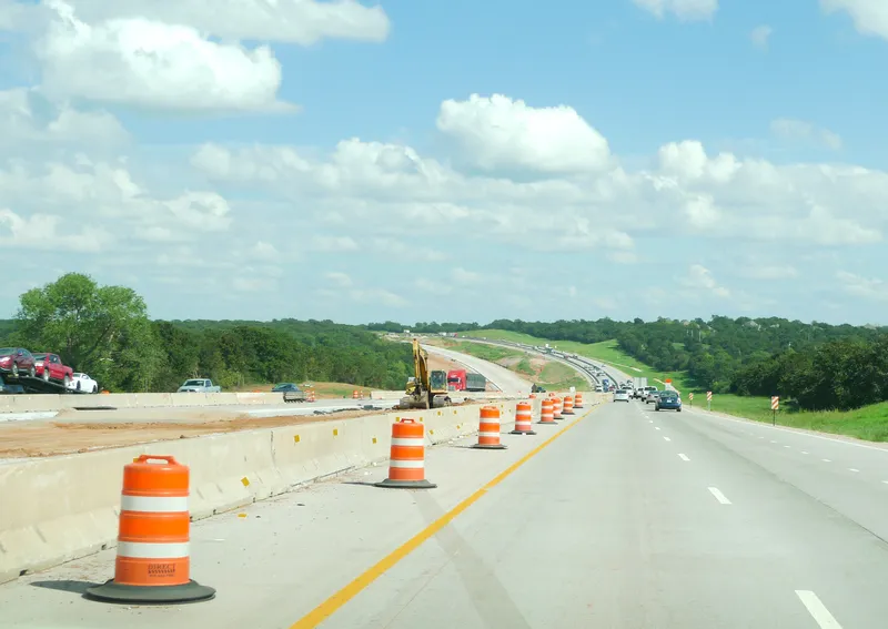
Built by Esri, the website allows drivers and citizens to view more than 1,000 layers of information from roadside barriers and medians to traffic incident statistics. Users can then drill down to view individual assets–giving them both a holistic view of the state’s transportation infrastructure as well as detailed information going on in their individual neighbourhoods and streets.

One of the most popular feeds is the Safety Index, a map and repository of traffic incidents for every street in the state. Users can see the number of accidents on a particular stretch of roadway, the accident rate and whether any injuries or fatalities have occurred.

The website is also used internally at the DOT, providing valuable information for the state’s traffic management engineers and repair crews. Critical infrastructure information can be called up a worker’s laptop in the field, giving them an accurate catalogue of the asset in question as they pull up. The information is routed to the TOC where engineers can make informed decisions based on real-time events.

“TOCs have standard operating procedures when dealing with events. We can automate those processes for them and tell them what’s really going on,” Bills said.

Visit uplan.maps.arcgis.com to access the UDOT information.

 www.esri.com

For more information on companies in this article

Related Content

  • Xerox streamlines parking in LA
    May 22, 2012
    It’ll be a little easier to find a parking space in notoriously traffic-congested Los Angeles thanks to a new advanced parking system developed by Xerox and the Los Angeles Department of Transportation (LADOT).
  • One.network workzone feeds available
    January 13, 2022
    GPS apps, C/AVs and regional authorities will have access to the feeds
  • Hikvision offers faster and better traffic management decisions
    April 8, 2021
    In today’s crowded cities, effective traffic management is critical for reducing congestion and preventing accidents. With the Hikvision Traffic Visualisation Dashboard, traffic managers can view historical and real-time traffic information, helping them make the best decisions and improve outcomes for road users and residents.
  • OT issues 5 millionth passport in Uzbekistan
    July 9, 2014
    Don’t be afraid of biometrics – that is the arresting message from Christophe Naudin, identity crime expert, ahead of CARTES SECURE CONNEXIONS 2014. “People don’t really understand what biometrics is and what it can do,” explained Naudin at the official launch of this year’s event.“But biometrics actually has the ability to increase personal freedom, rather than take it away. All over the world, people are worried that governments will be able to have too much power over them, but what it will do is solidif