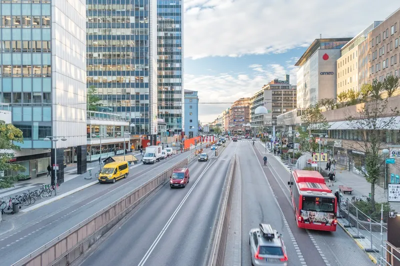
EarthSense clears traffic from pollution hotspots

EarthSense is working in the UK with Coventry City Council to divert traffic away from heavily congested roads and pollution hotspots. EarthSense’s air quality sensors are located in areas of the city where levels of nitrogen dioxide have been identified as high; particularly along the A4600 route at Walsgrave Road – a major link in and out of Coventry. When pollution levels are breached, the sensors send alerts to the urban traffic management centre where they trigger messaging on variable message s
August 2, 2019 Read time: 2 mins

8834 EarthSense is working in the UK with Coventry City Council to divert traffic away from heavily congested roads and pollution hotspots.

EarthSense’s air quality sensors are located in areas of the city where levels of nitrogen dioxide have been identified as high; particularly along the A4600 route at Walsgrave Road – a major link in and out of Coventry.

When pollution levels are breached, the sensors send alerts to the urban traffic management centre where they trigger messaging on variable message signs (VMS) which inform motorists and suggest alternative routes.

Shamala Evans, senior project manager at the council, says: “We’re taking early measures with the aim of encouraging motorists to make small changes to help reduce the pollution levels and traffic congestion before it’s too late and we’re forced to introduce chargeable clean air zones.”

Once the pollution levels have reached acceptable standards, the alerts are deactivated, and the VMS is removed.

John Seddon, the council’s head of transport & innovation, says: “The city council is keen to install the right technology across Coventry’s road network to allow us to dynamically manage traffic and respond to issues such as poor air quality or traffic incidents as soon as they happen.”

Related Content

  • December 5, 2013
    Vehicle manufacturers and local authorities seek satnav solutions
    The increasing capability of satellite navigation is helping vehicle manufacturers and local authorities as well as individual drivers and fleets. In comparison to the physical ITS infrastructure in towns and cities and on motorways and highways, satellite navigation (satnav) systems have come a long way in a short time. Many (if not the majority) individual drivers and fleets use or have access to a satnav and now the vehicle manufacturers and even local authorities are beginning to utilise satnav derived
  • February 1, 2012
    Cooperative systems - traffic management centres of the future?
    What will the traffic management centre of the future see and do? TNO's Frans op de Beek, who was responsible for putting together the Cooperative Mobility Demonstrations which included the Traffic Management Centre at this year's Intertraffic exhibition in Amsterdam, offers some insights. The road tours and demonstrations which took place at this year's Intertraffic to mark the conclusion of COOPERS, CVIS and SAFESPOT, the European Commission's (EC's) three major cooperative mobility projects, gave visitor
  • January 9, 2018
    Making the most of Michigan
    Michigan DoT’s Kirk Steudle takes time out from the ITS World Congress in Montreal to talk to Colin Sowman. Thirty years ago, a professional engineer named Kirk Steudle joined Michigan Department of Transportation (MDoT). Today he’s the state transportation director, responsible for more than 16,000km (10,000 miles) of state highways (including 4,000 bridges), some 2,500 employees and a budget of more than $4 billion. We caught up with Steudle during the ITS World Congress in Montreal and asked how he
  • December 1, 2020
    Personal sensor moves smart cities forward
    Open-seneca is a portable air quality monitor designed to pinpoint emission hotspots and drive behavioural change - and Swedish capital Stockholm is trying it out, writes Adam Hill