
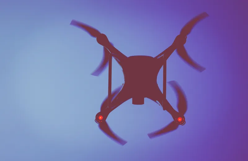
Drone captures map of EastLink tunnel for self-driving car trials

EastLink has used an aerial drone from Telstra to capture a Lidar map for its Mullum Mullum tunnel in Australia to help support safe trials of fully self-driving cars. Doug Spencer-Roy, EastLink’s corporate affairs and marketing manager, said that trial sites need to be mapped in high resolution to allow self-driving car prototypes to be conducted under controlled conditions to test their safe operation. Additionally, the process can also support the company’s maintenance activities, by allowing the deta
April 9, 2018 Read time: 2 mins

8735 EastLink has used an aerial drone from Telstra to capture a Lidar map for its Mullum Mullum tunnel in Australia to help support safe trials of fully self-driving cars.

Doug Spencer-Roy, EastLink’s corporate affairs and marketing manager, said that trial sites need to be mapped in high resolution to allow self-driving car prototypes to be conducted under controlled conditions to test their safe operation.

Additionally, the process can also support the company’s maintenance activities, by allowing the details of the tunnel infrastructure to be viewed in 3D when planning maintenance work, Roy added.

The self-driving cars are pre-loaded with a Lidar map of the trials area. In addition, the vehicle’s built-in Lidar scanner aims to capture a real-time Lidar view of the vehicle’s surroundings.

EastLink says the autonomous driving system compares the real-time Lidar view against the pre-loaded Lidar map to increase the accuracy of its self-positioning system. The solution also intends to identify objects that it needs to avoid such as pedestrians, cyclists, animals and other vehicles.

Andrew Wildblood, Telstra Enterprise’s executive director growth, said: “Drones are an important emerging technology that will have many applications and benefits for our business, our customers and the wider community.

“Telstra will continue to play an important role in this space, with our world class network enabling our customers to take advantage of drone technology now and into the future. Telstra has a dedicated cross-company drone team that are actively exploring the efficiency, cost reduction and safety benefits that drones can deliver our customers, like EastLink, across a number of different industry sectors.”

Related Content

  • February 18, 2013
    Oxford University develops self-driving car
    Oxford University scientists have developed a self-driving car system that can be installed in existing cars and can cope with snow, rain and other weather conditions. Developed by a team led by Professor Paul Newman at Oxford University, the new system has been installed in a Nissan Leaf electric car and tested on private roads around the university. The car will halt for pedestrians, and could take over the tedious parts of driving such as negotiating traffic jams or regular commutes. The car alerts the
  • March 1, 2013
    Airborne traffic monitoring - the future?
    A new frontier in the quest to monitor road traffic is opening up… but using airborne drones to reduce the jams comes with some thorny issues. Chris Tindall reports. Imagine if you could rely on a system that provided all the data you needed to regulate traffic flow, route vehicles and respond swiftly to emergencies for a fraction of the cost of piloting a helicopter. That system exists, but as engineers and traffic managers start to explore the potential of unmanned aerial vehicles (UAVs) – more commonly k
  • September 28, 2021
    Cepton and Belam boost railway safety
    Cepton says the system has achieved an accuracy of over 99.9% in obstacle detection
  • February 12, 2018
    Here Technologies to map Dubai with HD technology for driverless technology
    The Roads and Transport Authority (RTA) of Dubai and Here Technologies (Here) have signed a memorandum of understanding to map the city with high definition (HD) technology as part of a strategy to make 25% of public transport self-driving by 2030. Both companies will deploy location technologies in the development of a data infrastructure to help support safe, sustainable and efficient autonomous transportation. The partners intend to utilise Here’s map for autonomous cars, HD Live Map, for public