Data collection vehicle optimises road maintenance for Canadian municipality

The Regional Municipality of Waterloo, Ontario, has awarded Fugro Roadware a contract to collect updated images for its road right-of-way (ROW) inventory. The contract covers 1,400 lane kilometres of regional roads and provides a web-based solution for digital image playback and data review.
February 12, 2016 Read time: 2 mins

The Regional Municipality of Waterloo, Ontario, has awarded 855 Fugro Roadware a contract to collect updated images for its road right-of-way (ROW) inventory. The contract covers 1,400 lane kilometres of regional roads and provides a web-based solution for digital image playback and data review.
 
Web-based data access maximises the region’s budget by reducing time consuming and costly field visits and enabling the sharing of information with various groups within the municipality.

Fugro’s multi-functional asset data collection vehicle, the ARAN 9000, is equipped with cameras, profilers and lasers. It automatically collects specific asset and pavement data, including transverse profile and road roughness. Captured using forward and right facing high resolution cameras, ROW images have a wide field of view and are geo-referenced to allow the images to be used in GIS software such as 50 ESRI’s ArcGIS.

The company’s iVision web-based application software gives municipality staff a synchronised view of images and collected roadway data allowing for easy visual quality assessment of assets and pavement condition. Data can be summarised in a graph, dashboard or tabulated form to help staff analyse asset trends year-over-year.

Related Content

  • September 15, 2014
    Moxa provides clear vision for Caldecott Tunnel’s Fourth Bore
    Caldecott Tunnel’s new Fourth Bore is utilising a bespoke high-capacity monitoring and communications network from Moxa. The Caldecott Tunnel connects Contra Costa and Alameda counties in Northern California and traditionally it has suffered severe congestion - especially during peak hours. Opened in 1937 as a twin-bore arrangement, by 1964 the increase in traffic volumes led to a third bore being added. Shortly after the third bore was opened a tidal flow was introduced with the centre bore alternating in
  • February 16, 2021
    Best practices in road asset management
    Vaisala's webinar on 25 February looks at an Ontario region using geospatial video
  • October 8, 2015
    Esri software powers Lithuania project
    The government of Lithuania has used Esri’s software to create a website – which went live this week - covering all of its transport network rather than simply one urban area. “It’s a multimodal journey planner for the whole country,” explains Terry C. Bills, Global Transportation Industry Manager at Esri. “So it’s a question of stitching together city systems with inter-city ones and pulling them together in a seamless way.”
  • October 13, 2021
    Esri helps link schools & transport
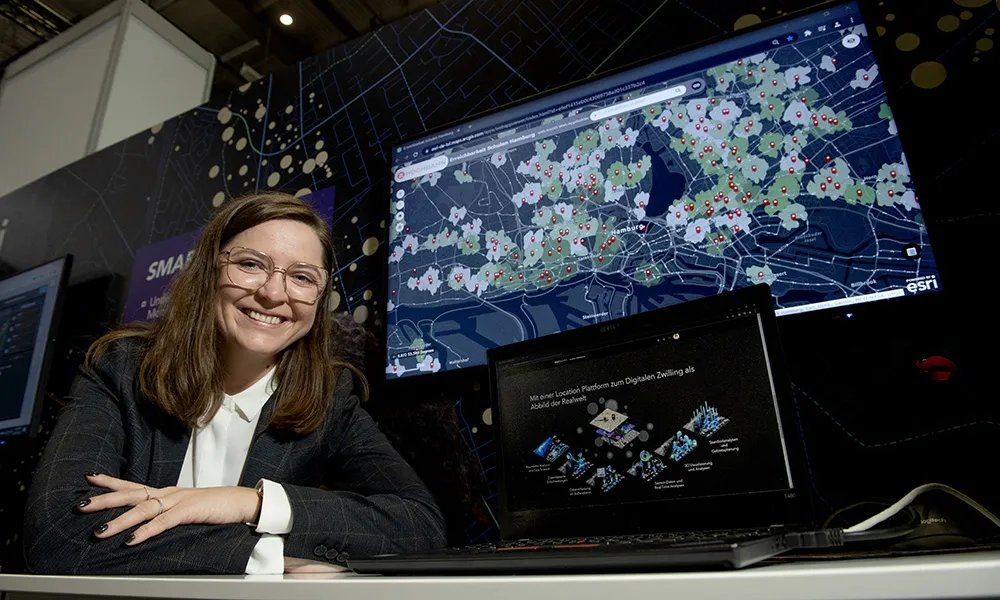
    Every school child in Hamburg should have access to public transport within a five-minute walk from their school. That is the goal of city planners and Esri’s ArcGIS software has helped officials understand what infrastructure needs to be in place to reach that goal