Following a successful three-month trial, NextBus will deliver RTPIS to 19 separate transit providers that operate under TransLink.
The contract expands Cubic’s services and capabilities in the region and delivers on a key component of its NextCity strategy - the integration and application of payment, traveller information and operational analytics to regional transportation networks around the world.
By early 2015 the equipment will be installed across the entire TransLink network, which operates across 23 zones and seven regions with the network stretching from Gympie in the north to Coolangatta in the south, and west to Helidon.
New driver console units use GPS, combined with mobile communications on each vehicle to track the exact location and movements of services with arrival times updated every 30 seconds on the TransLink website.
NextBus vehicle arrival information can be accessed through its regularly updated web application and is also accessible through mobile devices including smartphones and tablets, computers and LED/LCD signs at bus shelters and transit depots. Using GPS technology, NextBus automatically determines the passenger’s location and the nearest stops, which passengers can view on a live map on the NextBus website.
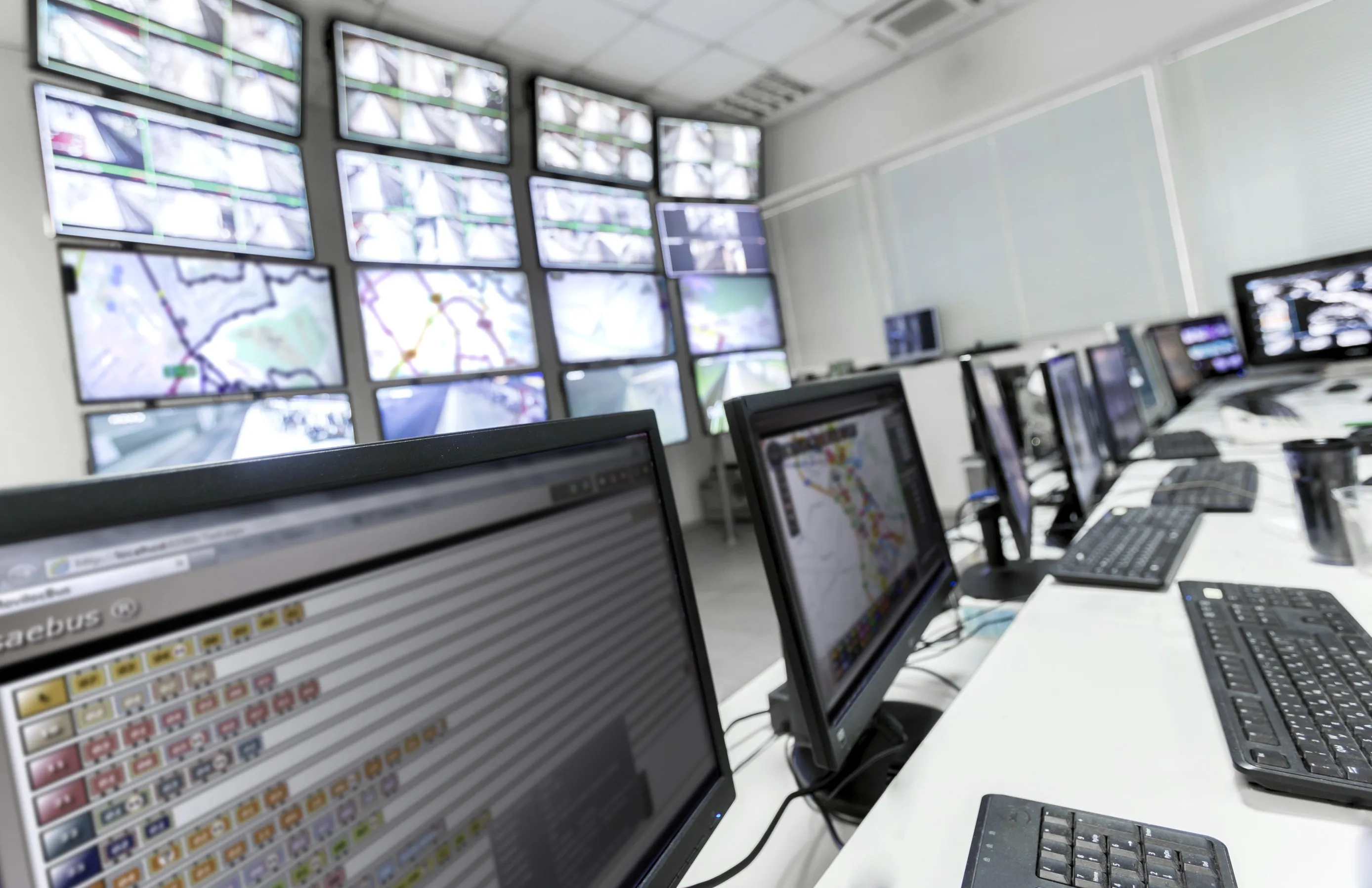
For transit operators, the NextBus system provides a host of management tools that enable operators to improve their on-time performance and transit planning. Tools include headway management that tracks how far apart buses are spaced out, schedule adherence, replay maps that utilise historical travel data to show dispatchers past vehicle location information, and the real-time map interface, which allows transit managers to monitor vehicle arrival status in real time.
Cubic’s NextBus Subsidiary seals real time bus arrival deal
Cubic Transportation Systems subsidiary NextBus is expanding its market with its first real-time passenger information systems (RTPIS) project outside North America, with TransLink, the public transportation provider in south east Queensland, Australia.