Cubic’s NextBus Subsidiary seals real time bus arrival deal

Cubic Transportation Systems subsidiary NextBus is expanding its market with its first real-time passenger information systems (RTPIS) project outside North America, with TransLink, the public transportation provider in south east Queensland, Australia.
October 23, 2014 Read time: 2 mins

378 Cubic Transportation Systems subsidiary NextBus is expanding its market with its first real-time passenger information systems (RTPIS) project outside North America, with 376 TransLink, the public transportation provider in south east Queensland, Australia.

Following a successful three-month trial, NextBus will deliver RTPIS to 19 separate transit providers that operate under TransLink.

The contract expands Cubic’s services and capabilities in the region and delivers on a key component of its NextCity strategy - the integration and application of payment, traveller information and operational analytics to regional transportation networks around the world.

By early 2015 the equipment will be installed across the entire TransLink network, which operates across 23 zones and seven regions with the network stretching from Gympie in the north to Coolangatta in the south, and west to Helidon.

New driver console units use GPS, combined with mobile communications on each vehicle to track the exact location and movements of services with arrival times updated every 30 seconds on the TransLink website.

NextBus vehicle arrival information can be accessed through its regularly updated web application and is also accessible through mobile devices including smartphones and tablets, computers and LED/LCD signs at bus shelters and transit depots. Using GPS technology, NextBus automatically determines the passenger’s location and the nearest stops, which passengers can view on a live map on the NextBus website.

For transit operators, the NextBus system provides a host of management tools that enable operators to improve their on-time performance and transit planning. Tools include headway management that tracks how far apart buses are spaced out, schedule adherence, replay maps that utilise historical travel data to show dispatchers past vehicle location information, and the real-time map interface, which allows transit managers to monitor vehicle arrival status in real time.

For more information on companies in this article

Related Content

  • Kapsch delivers truck parking connected vehicle system
    March 13, 2013
    Kapsch TrafficCom North America (Kapsch), part of Kapsch TrafficCom Group, has been selected by engineering and construction company HNTB and the Michigan DOT (MDOT) to deliver a truck parking connected-vehicle system at five sites along the I-94 corridor in Michigan. Kapsch will supply 5.9 GHz Dedicated Short Range Communications (DSRC) in-vehicle units and roadside equipment with customised application software that together provide drivers with real-time truck parking availability information from MDOT f
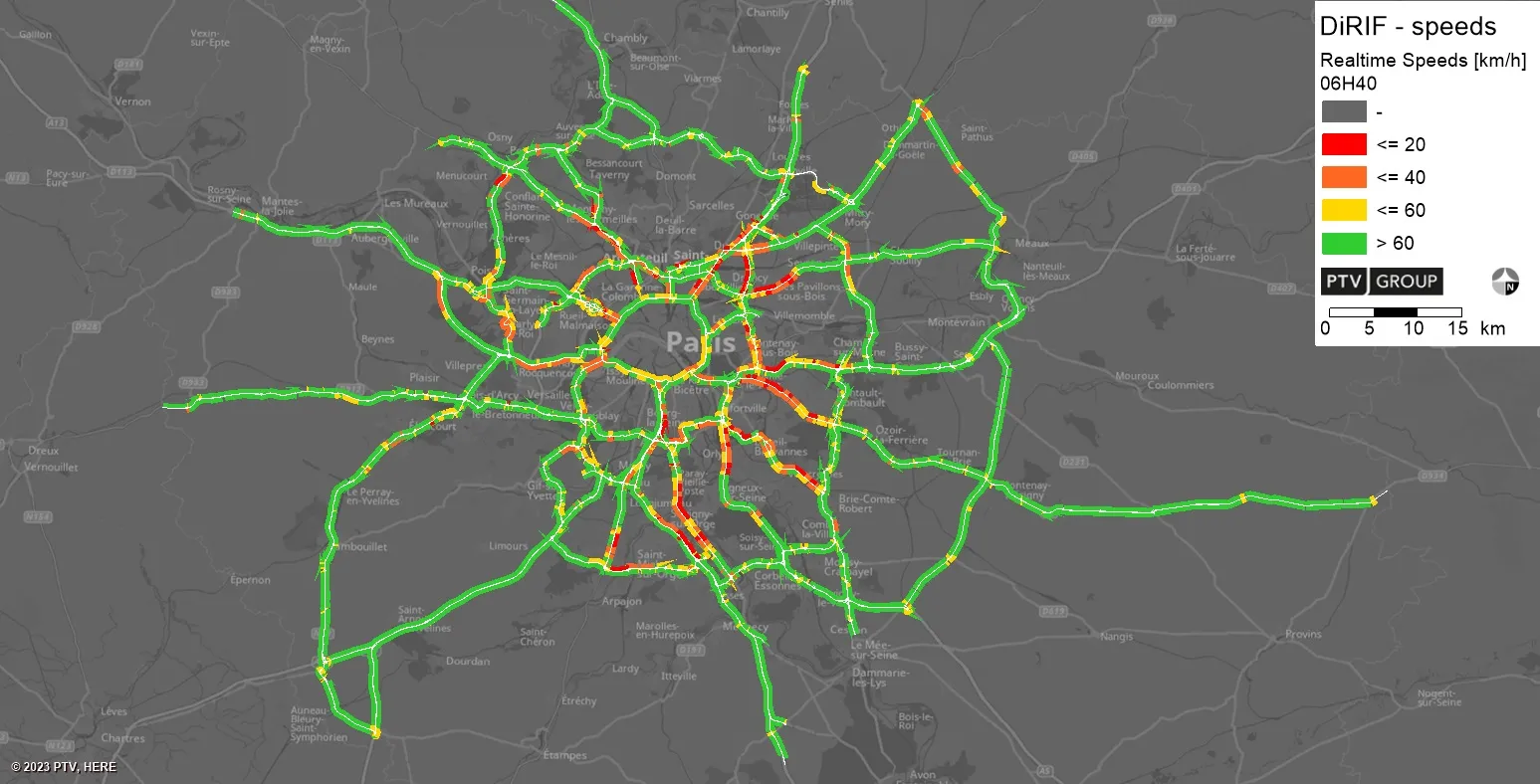
  • PTV provides precise data on Paris traffic
    July 31, 2023
    GPS location of vehicles travelling around French capital will be used to ease congestion
  • Travel information is heading towards smartphones
    January 30, 2012
    Travel information services are undergoing a step change as rapid increase in sales of smartphones brings ITS technology to consumers' fingertips. A virtuous circle of expanding capability is under way in traffic and travel information services, promising much for drivers and reduction of road congestion. A recent rapid rise in sales of smartphones has boosted numbers of vehicles carrying GPS enabled devices and so brought expansion of traffic data available for analysis and dissemination. Greater numbers o
  • Troopers in the TOC – a recipe for success
    May 11, 2016
    A traffic incident management project in Arizona has speeded up reopening closed lanes and saved an estimated $165m through reducing traffic delays. The process for clearing roadway incidents on the Maricopa County freeways in Arizona has always reflected industry best practice with, for instance, a live feed of freeway cameras to the Arizona Department of Public Safety’s (DPS) dispatch centre and the City of Phoenix Fire dispatch centre. The region has nearly 480km (300 miles) of freeway connecting 27 citi