Compass IoT CV data puts heat on UK motorways

Purdue University collaboration looks at congestion and corridor management
By Adam Hill February 17, 2025 Read time: 2 mins
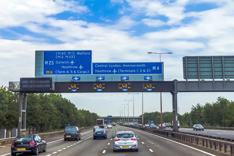
A section of the UK's M4 motorway (© Felix Bensman | Dreamstime.com)

Connected vehicle (CV) data from Compass IoT is being used by Purdue University to visualise travel speeds, traffic flow and bottlenecks on motorways in the UK.

The US university has developed speed heatmaps to understand traffic flow, congestion and corridor management.

These maps enable transport agencies, local councils and national highway authorities to better understand speed variations, congestion patterns, and traffic pinch points, supporting data-driven decision-making to improve network performance - including improving incident response.

Purdue speed heatmap using Compass connected vehicle data visualising overnight M5 closures

They also provide insights into when and where closures occur by visually identifying data gaps.

The research has been led by Professor Darcy Bullock, whose expertise is the use of CV data for traffic management.

"Applying connected vehicle data to UK motorways allows us to analyse congestion and speed fluctuations with a level of detail that traditional methods simply can’t provide," said Compass general manager Marinos Tsiplakis. 

"Partnering with universities like Purdue enables us to combine real-world vehicle movement data with globally recognised research expertise to help authorities optimise their road networks."

The project leveraged passively-collected vehicle trajectory data for December 2024 to analyse and visualise travel speeds across key UK corridors, including the M4 and M5.

This showed, for example, the effects of motorway closure following a crash on the M4 on 12 December from 4.30am to 8pm: the maximum queue length shown on the heatmap was approximately 5-6km.

Overnight closures - part of National Highways' resurfacing scheme - on the northbound M5 from 9pm to 6am from Monday to Thursday are shown by white gaps in the heatmaps (above). The gaps indicate no vehicles travelled through that section of road for that period.

Bullock was interviewed on Compass' Byte Size podcast to discuss how connected vehicle data can help authorities to improve performance, from real-time congestion analysis to long-term corridor planning strategies.

For more information on companies in this article

Related Content

  • Siemens: self-driving minibuses are the future of first-/last-mile
    February 26, 2020
    Markus Schlitt, CEO of intelligent traffic systems at Siemens Mobility, talks to ITS International about safety and why it is important for cities to offer additional shared and connected transit options.
  • TRB 2024 challenge spurs smart transportation innovation
    January 24, 2024
    The Center for Urban Informatics and Progress at UTC, Amazon Web Services, the National Science Foundation, the City of Chattanooga and ITS America sponsored the Transportation Forecasting Competition at TRB 2024: and the challenge threw up some fascinating projects
  • New connected vehicle data sets available in the Research Data Exchange (RDE)
    May 4, 2016
    New connected vehicle data environments are now available in the US. Department of Transportation's Research Data Exchange (RDE). This web-based data resource collects, manages, and provides access to archived and real-time multi-source and multi-modal data to support the development and testing of intelligent transportation system applications. The RDE now houses the following three additional data environments:
  • UK well positioned to benefit from autonomous lorries, says Inrix
    September 24, 2018
    Driver shortage, commercially-viable roads and Brexit uncertainty position the UK to develop and benefit from autonomous freighting, says Inrix. The analytics company's latest report has identified the A1 from Sheffield to Edinburgh as the most suitable corridor for testing highly automated vehicles (HAV). The Inrix Automated Freight Corridor Assessment reveals the next best-suited corridor is the M5/A38 from Plymouth to Birmingham, followed by the M4 from Swindon to Swansea.