Compass IoT connected vehicle data used to shape iRAP projects

UK charity Road Safety Foundation may also explore G-force data
By Adam Hill April 23, 2025 Read time: 2 mins
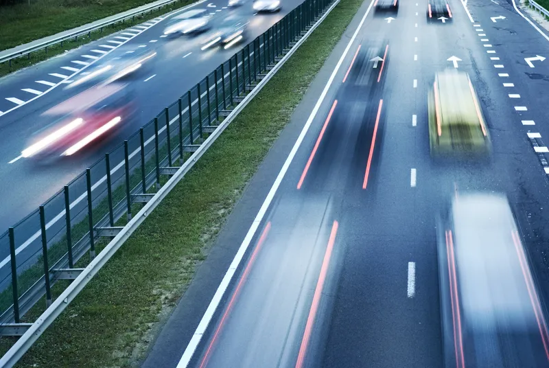
Speed data eliminates need for tube counters (© Nejron | Dreamstime.com)

The Road Safety Foundation (RSF) is integrating connected vehicle (CV) technology into its International Road Assessment Program (iRAP) work. 

The UK charity is working with CV data aggregator Compass IoT to measure speeds directly from vehicles, across a network.

The iRAP model, used by RSF, gives roads a star rating from 1 to 5, to identify risks and prioritise improvements to prevent deaths and serious injuries.

"The aim of iRAP at its inception was to develop a methodology that would be similar to a New Car Assessment Programme (NCAP), but for roads, to try and increase the safety standard of roads," explains Suzy Charman, RSF executive director.

Charman used Compass IoT's operational speed data to inform iRAP ratings across Wales, which eliminated the need for tube counters to assess speeds.

 “I've been a big fan of telematics and connected vehicle speed data for years now," she says. "But even I was astonished when we compared connected vehicle speed data with traditional tube survey data - it was so close."

An Australian road authority has also adopted Compass’ operational speed data for their AusRAP ratings - based on the international iRAP model - with data covering over 99% of its state-wide road network.

RSF is considering adding G-force data to identify harsh swerving and braking, which could create insights into road safety and driver behaviour to enable more targeted interventions.

"We're excited about the potential of our G-force data to further enhance road safety assessments and contribute to creating safer road environments for all users," says Marinos Tsiplakis, general manager at Compass IoT.

You can hear more about the RSF project on the Byte Size podcast.

For more information on companies in this article

Related Content

  • Thermal cameras address US railroad deaths
    March 9, 2021
    Four-year study in North Carolina uses thermal cameras to prevent fatal trespassing
  • Red light cameras ‘reducing intersection deaths’ in Toronto
    September 4, 2017
    The city of Toronto, Canada has seen an average drop of 40 per cent in the number of collisions causing a death or serious injury at intersections equipped with red light cameras, according to the Toronto Star. At some locations, there have been no deaths or serious injuries caused by collisions since the cameras were installed.The city has almost doubled its red light cameras as part of a plan it says is aimed at eliminating traffic death and serious injuries.
  • Driver aids make inroads on improving safety
    November 12, 2015
    In-vehicle anti-collision systems continue to evolve and could eliminate some incidents altogether. John Kendall rounds up the current developments. A few weeks ago, I watched a driver reverse a car from a parking bay at right angles to the road, straight into a car driving along the road. The accident happened at walking pace, no-one was hurt and both cars had body panels that regain their shape after a low speed shunt.
  • StreetLight Data maps future
    February 20, 2019
    Laura Schewel of StreetLight Data talks to Adam Hill about the importance of measuring what you do – and about how paint will remain perhaps the most important piece of technology in the city planners’ armoury for a decade to come Transportation is dangerous, responsible for 30% of global cargo emissions today. Some experts believe that it will be responsible for 80% by 2050. And that’s before you even get on to the safety question - just ask tech entrepreneur Laura Schewel. “Transportation is getting wo