The Texas city of Arlington will use a traffic management platform and Live Link mobile app from Causeway One.network to improve safety around sports venues.
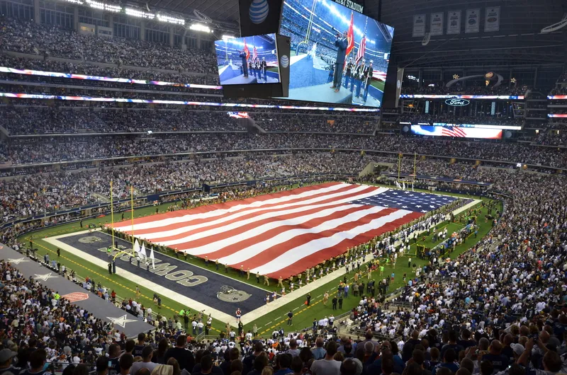
The Arlington area is home to major sports fields including the Dallas Cowboys' AT&T Stadium, Texas Rangers’ Globe Life Field and Choctaw Stadium as well as Six Flags Over Texas theme and water parks.
The platform from Causeway One.network, a digital workzone and road management platform provider, enables city traffic managers to efficiently navigate the significant influx of vehicles during large-scale events, while also ensuring real-time communication of road work and lane closures.
Through the Live Link mobile app, authorised road workers can update closures directly from the job site. This allows for seamless integration with major GPS providers such as Waze, Apple Maps and Google Maps.
“With tens of thousands of vehicles converging on the district during major events, real-time awareness of road closures and construction is critical,” said Kieran Holloway, Causeway One.network’s US marketing leader. “Our platform empowers traffic managers to get this essential information to drivers when they need it most.”
Causeway’s work will eventually extend beyond Arlington’s sports and entertainment district into the entire city. Centrally located between Dallas and Fort Worth, Arlington is home to more than 400,000 people and draws more than 15 million visitors a year.
In 2026, Arlington’s AT&T Stadium will host nine Fifa World Cup football matches including the tournament semi-final. For this, road incursion awareness, particularly in the build-up to the event, will become increasingly crucial, said Causeway.
Arlington secured the company’s services via TXShare, a streamlined procurement platform developed by the North Central Texas Council of Governments. TXShare simplifies the procurement process for public agencies and is accessible beyond Texas.
Causeway said the Arlington agreement builds on the company’s track record of supporting traffic management in high-density areas.
The firm recently partnered with the Regional Transportation Commission of Southern Nevada to improve road management in Las Vegas ahead of the Formula One Grand Prix this November. The race track covers three miles – nearly 5km - of the iconic Las Vegas Strip, requiring precise coordination of road closures.