BumpRecorder measures road roughness via smartphone

BumpRecorder of Japan will be at the 2015 ITS World Congress with an innovative system that can evaluate road roughness, using only a smartphone. A user simply drives a passenger car with BumpRecorder installed on a smartphone and it will record vehicle vibration without the need for any special equipment.
October 8, 2015 Read time: 2 mins

BumpRecorder of Japan will be at the 2015 ITS World Congress with an innovative system that can evaluate road roughness, using only a smartphone.

A user simply drives a passenger car with BumpRecorder installed on a smartphone and it will record vehicle vibration without the need for any special equipment.

Recorded data is uploaded to the BumpRecorder Web server - road roughness to level 2 IRI (International Roughness Index) and original bump index will calculate in 5-10 minutes, and it will be displayed via mapping on the web map window.

The company states that BumpRecorder does not require calibration driving before actual roughness measurement driving gets under way. This is because vehicle vibration specification is analysed automatically using recorded acceleration data. The company claims that the class 2 IRI values provided by the system are stable, even if vehicle type and driving speeds are different.

The BumpRecorder App for Android smartphone is free to download from Google Play. There is a data analysing fee which is a fixed amount for a management area and within that area, measurement distance is unlimited.

Related Content

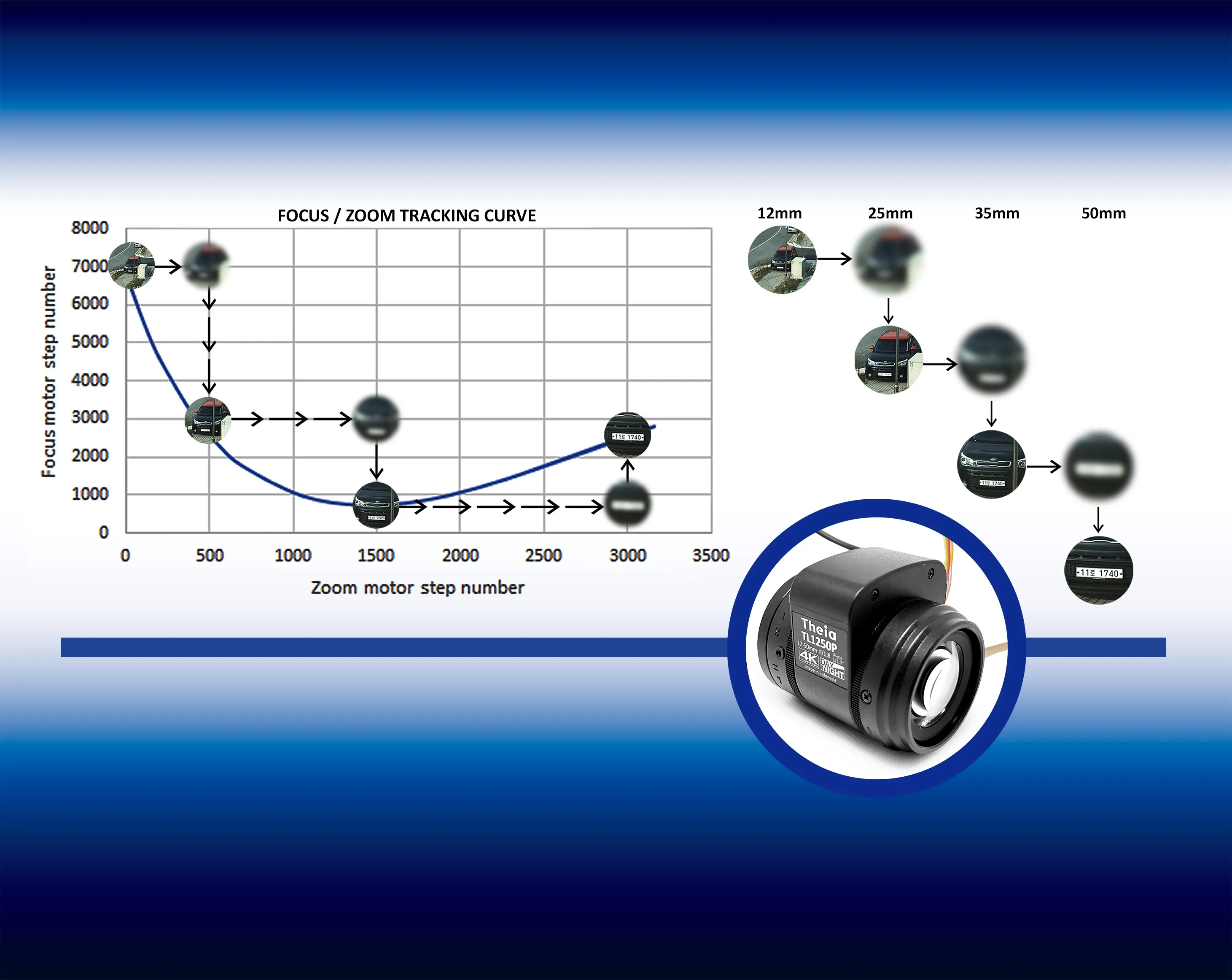
  • Calibrated motorised lenses from Theia for remote image optimisation
    August 24, 2023
    ITS applications can benefit from automatic or remote adjustment of FoV and focus
  • Cloud computing technology benefits GIS
    July 17, 2012
    Geographic Information Systems are a relatively late adopter of cloud computing,but the benefits of host services for geospatial data and analysis are becoming clear. Jason Barnes reports Both the concept and the reality of cloud computing have been around for some time. More and more industry sectors are entrusting external service providers with the provision of their computing services via the internet. However, the Geographic Information System (GIS) industry has been slow to embrace the trend. This is
  • Keeping a watching brief over traffic flows
    March 11, 2015
    Monitoring traffic flows is set to become an even bigger challengebut a revolution in camera technology can help, as Patrik Anderson explains. By 2025 almost 60% of the world’s population will live in urban areas and in those cities there will be an estimated 6.2 billion private motorised trips every day. In order to manage this level of traffic growth, traffic management centres (TMCs) will need to both increase their monitoring capabilities and be able to detect traffic problems quickly, efficiently and r
  • Jonathan Raper from TransportAPI is surfing the open data tidal wave
    August 13, 2015
    Jonathan Raper, managing director of the TransportAPI talks to Colin Sowman about the benefits open data can bring to the public transport sector. That the digital revolution would change the world, including transport, was never in doubt but the question has always been: how? Now, with the ‘Millennium Bug’ relegated to a question on quiz shows, the potential and challenges of digital technology are starting to take shape - and Jonathan Raper is in the vanguard. Raper is managing director of the open data t