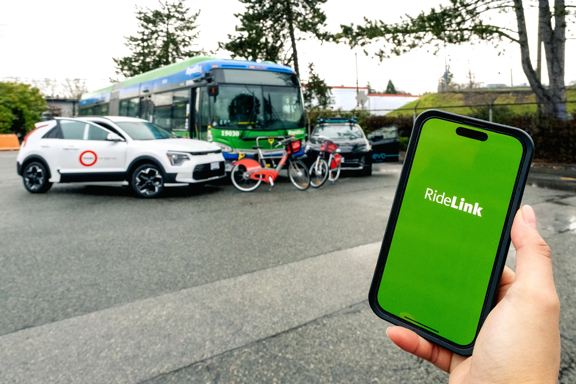
San Diego Metropolitan Transit System (MTS) has turned to Cubic’s big data subsidiary Urban Insights to make better use of its data, according to a report in Information Week.
The agency has disparate data sources, including a smart-card payment system, GPS-based automatic vehicle location devices on buses, automatic passenger counters on trolleys, and extensive route and schedule information formatted in the general transit feed specification (GTFS) format developed by Google in 2006.
"We look at all
The agency has disparate data sources, including a smart-card payment system, GPS-based automatic vehicle location devices on buses, automatic passenger counters on trolleys, and extensive route and schedule information formatted in the general transit feed specification (GTFS) format developed by Google in 2006.
"We look at all these data sources independently, and they help us improve performance, but we haven't been able to make correlations among the various data sources," said Sharon Cooney, MTS chief of staff.
Disparate data sources are all too common in transportation projects, so Urban Insights has developed a cloud-based analytics modelling platform built on Hadoop open source software.
"MTS wanted not just a one-off study of transit usage but a reusable process of integrating data sources and producing insights so planners can determine when travellers are not using the network as anticipated," said Wade Rosado, Urban Insights' director of analytics. "We have to align and make sense of the data to unravel the mystery of how people are using the system."
Passenger analysis in San Diego is complicated by the fact that the tram system operates on a barrier-less honour system, where passengers are expected to tap their smart cards on fare validators as they enter the platform. Fare collection on buses is controlled by the driver, but there is no connection to vehicle locators to show how many passengers boarded at which stop. Both factors make it difficult to track where people start and end their journey and where they transfer from route to route or from trams to buses.
Urban Insights and MTS began by analysing tapping patterns at the tram platforms – looking at the level of passengers versus fare validation. The analysis began with the GTFS data on when specific trams are expected to arrive where on a route. This was correlated to the tram platform validation data. To get a complete picture of ridership, Urban Insights added data from the automatic passenger counters, which is time stamped, and correlated it with the GTFS scheduling data.
"Now we can see how many boarded versus how many tapped," said Cooney. "The only other way we could do that previously was through handheld units that officers use to spot-check who tapped and who didn't, but that's only a small sampling of overall system usage."
Urban Insights and MTS are currently working on aligning and correlating all available data to study how these route changes have impacted various point-to-point travel times, transfer points, ridership levels, and, with added customer survey data, overall rider satisfaction levels.
The outputs include blended data sets, reports, and sophisticated geospatial visualizations (as shown in the image above). These maps show the quantity of transfers made at particular locations with different size rings. Services offered are depicted by shapes, with sizes and colours indicating different attributes of those services. The visualisations will help MTS determine where and whether transfer activity is inconsistent with the service levels offered.