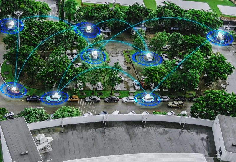
Autonomous vehicle accuracy mapping from TomTom

Pride of place on satellite navigation pioneer TomTom’s stand is very high resolution 3D mapping, initially for Germany, which it says provides the 10cm accuracy necessary for highly automated vehicles. Its mainstream mapping is also high definition meaning the image can be used on any size of screen – as visitors can see.
October 8, 2015 Read time: 2 mins
Matthieu Campion of TomTom with the company's technology

Pride of place on satellite navigation pioneer 1692 TomTom’s stand is very high resolution 3D mapping, initially for Germany, which it says provides the 10cm accuracy necessary for highly automated vehicles. Its mainstream mapping is also high definition meaning the image can be used on any size of screen – as visitors can see.

Also highlighted is the company’s smartphone navigation app – increasingly favoured by occasional users of navigation services while it finds regular users such as delivery drivers are staying with dedicated devices. 
Marketing manager, automotive, Matthieu Campion said his company has many reciprocal agreements with road authorities to both receive and deliver traffic information and is working on algorithms to predict traffic conditions over the coming 15 minutes.  

And with changes happening on 15% of major routes each year, the company is working on speeding the verification and map updating process to a matter of a few days, or potentially hours, rather than weeks or a month as it is currently. “Much depends on where the users’ maps are actually located; in their devices (which are currently updated quarterly) or on our servers which can be readily updated,” says Campion.

There is currently discussions with the vehicle manufacturers about a strategy for high frequency updates and whether to update the area around the vehicle or along the selected route.

Related Content

  • April 23, 2013
    Challenges and benefits of adaptive signal control
    Delcan’s Joe Lam, who managed the first computerised signal system in the world, provides an expert insight into adaptive signal control. There are no gadgets in the world that regulate our daily behaviour as much as traffic signals, except perhaps our mobile phones. It has been estimated that the daily commuter goes through at least 10 signals on his journey to work. However, unlike mobile phones, traffic signals cannot be ignored or switched off by their daily users, at least not without legal consequence
  • July 23, 2012
    Improving the positional accuracy of GNSS road user charging
    The European GINA project is intended to address and overcome many of the institutional, technical and public acceptance hurdles currently faced by satellite-based road user charging schemes. Dave Tindall and Denis Naberezhnykh, TRL, and Laure Dezes, ERF, write. Pay-as-you-drive Road User Charging (RUC), whereby demand (or congestion) is managed by applying appropriate tariffs in order to encourage drivers to make their journeys at less busy times, on less congested routes or even on different modes, could
  • March 3, 2021
    Connected mobility: top five solutions
    Joseph Jackson Ngo Hong of Robert Bosch offers thoughts on the future of connected mobility
  • November 10, 2015
    Benefits of traffic data sharing with app developers
    Timothy Compston finds out if exchanging traffic and road condition data with private app developers makes sense for both drivers and road authorities. Much has been said about the potential benefits for authorities in sharing data with traffic and navigation app developers, and receiving ‘crowdsourced’ information in return – so how is it working in practice?