Autonomous vehicle accuracy mapping from TomTom

Pride of place on satellite navigation pioneer TomTom’s stand is very high resolution 3D mapping, initially for Germany, which it says provides the 10cm accuracy necessary for highly automated vehicles. Its mainstream mapping is also high definition meaning the image can be used on any size of screen – as visitors can see.
October 8, 2015 Read time: 2 mins
Matthieu Campion of TomTom with the company's technology

Pride of place on satellite navigation pioneer 1692 TomTom’s stand is very high resolution 3D mapping, initially for Germany, which it says provides the 10cm accuracy necessary for highly automated vehicles. Its mainstream mapping is also high definition meaning the image can be used on any size of screen – as visitors can see.

Also highlighted is the company’s smartphone navigation app – increasingly favoured by occasional users of navigation services while it finds regular users such as delivery drivers are staying with dedicated devices. 
Marketing manager, automotive, Matthieu Campion said his company has many reciprocal agreements with road authorities to both receive and deliver traffic information and is working on algorithms to predict traffic conditions over the coming 15 minutes.  

And with changes happening on 15% of major routes each year, the company is working on speeding the verification and map updating process to a matter of a few days, or potentially hours, rather than weeks or a month as it is currently. “Much depends on where the users’ maps are actually located; in their devices (which are currently updated quarterly) or on our servers which can be readily updated,” says Campion.

There is currently discussions with the vehicle manufacturers about a strategy for high frequency updates and whether to update the area around the vehicle or along the selected route.

For more information on companies in this article

Related Content

  • Scania leads European vehicle platooning research project
    December 12, 2013
    Scania will take the lead role in a three-year European research project to develop a system for implementing truck platooning on roads, which it is believed can significantly contribute towards reducing the carbon footprint of trucks. Through the European Companion research project, the partners will identify means of implementing the platooning concept in practice in daily transport operations. The project also includes Volkswagen Group Research, Stockholm’s Royal Institute of Technology, Oldenburger
  • Conscience versus convenience
    June 8, 2015
    David Crawford looks at new ways forward for public transport. By 2025, nearly 60% of the world’s population will be living in towns and cities, increasing their extent and density, and the journeys that people make within and between them. In response, the International Association of Public Transport (UITP) wants to see public transport’s global modal share doubling (PTx2) by the same date. “Success in 2025,” a spokesperson told ITS International, “will save 170 million tonnes of oil equivalent and 550
  • Platooning with Ease on the I-70
    July 15, 2025
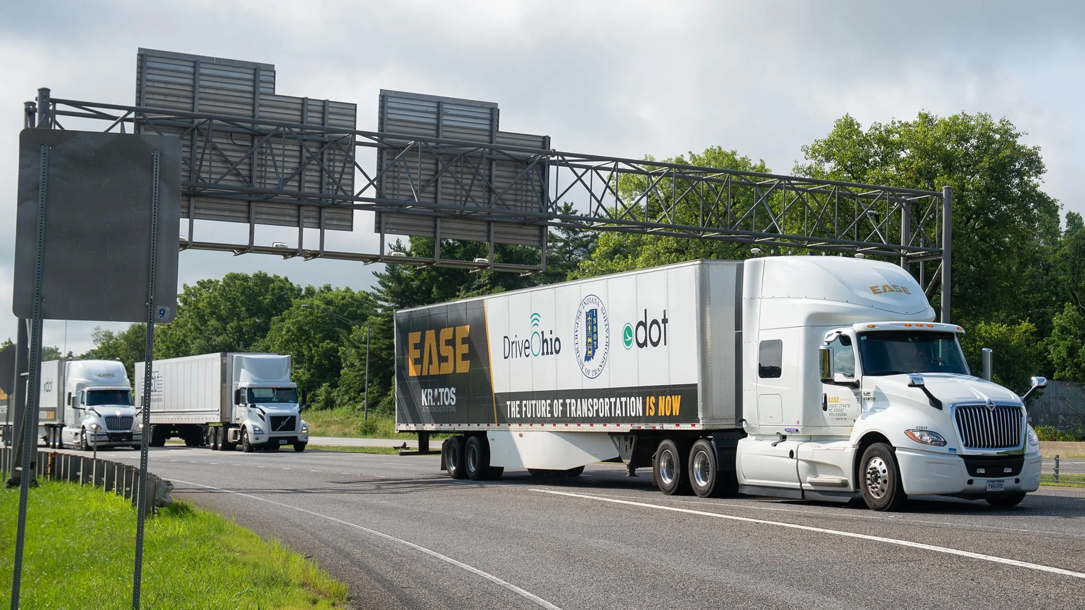
    What would happen to truck platooning - a nascent technology - if the weather turns nasty? The I-70 Truck Automation Corridor Project in the northern US should provide some answers, reports David Arminas…
  • Key to EV roll-out is understanding drivers
    October 22, 2021
    Understanding EV technology and driver behaviour will be key to building out the world’s charging infrastructure. Andrew Stone finds out why from Bret Scott at Wejo