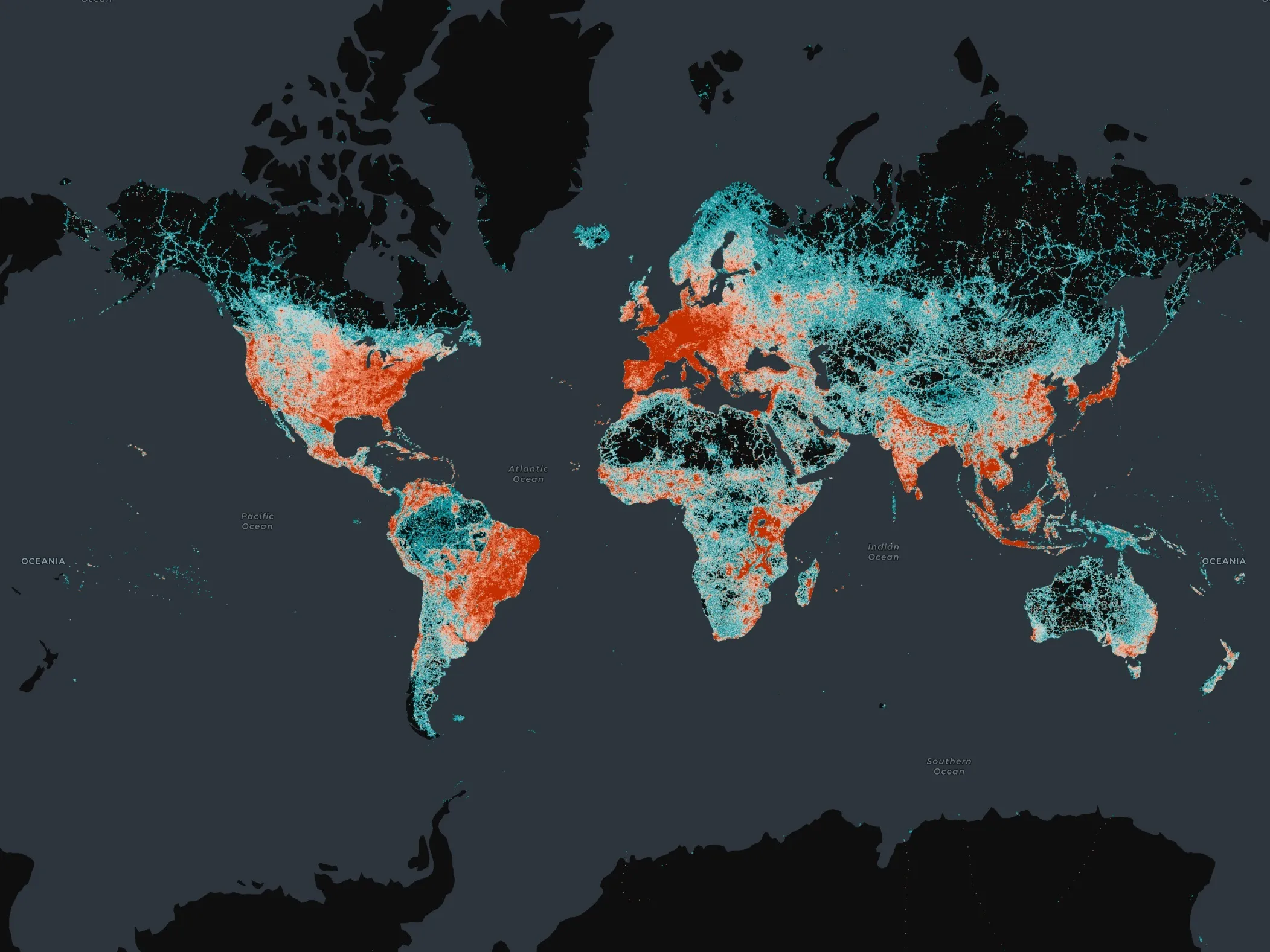
Autonomous vehicle accuracy mapping from TomTom

Pride of place on satellite navigation pioneer TomTom’s stand is very high resolution 3D mapping, initially for Germany, which it says provides the 10cm accuracy necessary for highly automated vehicles. Its mainstream mapping is also high definition meaning the image can be used on any size of screen – as visitors can see.
October 8, 2015 Read time: 2 mins
Matthieu Campion of TomTom with the company's technology

Pride of place on satellite navigation pioneer 1692 TomTom’s stand is very high resolution 3D mapping, initially for Germany, which it says provides the 10cm accuracy necessary for highly automated vehicles. Its mainstream mapping is also high definition meaning the image can be used on any size of screen – as visitors can see.

Also highlighted is the company’s smartphone navigation app – increasingly favoured by occasional users of navigation services while it finds regular users such as delivery drivers are staying with dedicated devices. 
Marketing manager, automotive, Matthieu Campion said his company has many reciprocal agreements with road authorities to both receive and deliver traffic information and is working on algorithms to predict traffic conditions over the coming 15 minutes.  

And with changes happening on 15% of major routes each year, the company is working on speeding the verification and map updating process to a matter of a few days, or potentially hours, rather than weeks or a month as it is currently. “Much depends on where the users’ maps are actually located; in their devices (which are currently updated quarterly) or on our servers which can be readily updated,” says Campion.

There is currently discussions with the vehicle manufacturers about a strategy for high frequency updates and whether to update the area around the vehicle or along the selected route.

For more information on companies in this article

Related Content

  • Plug and play approach unifies workzone ITS
    July 18, 2012
    Caltrans District 7 is finalising a ConOps document which will detail a plug-and-play to work zone ITS operation. The organisation's Allen Z. Chen elaborates. Before August is out, on current planning, the California Department of Transportation (Caltrans) District 7 (which covers Los Angeles and Ventura Counties, with a combined population of close to 11 million people) intends to have finalised a Concept of Operations (ConOps) document dealing with Work Zone Transportation Management Systems (WZTMS). The
  • GPS delivers accurate journey time data for UTC
    January 27, 2012
    A new solution developed as a consequence of the UK's Freeflow project fuses GPS and UTC loop data to give more accurate predictions of journey times, benefting network managers and travellers alike. By Matt Cowley and Gareth Jones, Trakm8 and John Polak and Rajesh Krishnan, Imperial College London
  • Vaisala: Weather data is vital for connected vehicles
    August 26, 2016
    Vaisala’s Dr Kevin Petty explains why the weather will continue to play a big part in road safety and traffic management in the smart cities of the future. The world is becoming increasingly connected. Thanks to advances in information and communications technology, the cities we live in are becoming ‘smart’, with everything from education to law enforcement managed by integrated tech solutions in a bid to improve quality of life.
  • Overture Maps releases its transportation dataset
    December 20, 2024
    Open-map dataset includes 86 million kilometres of roads worldwide