Autonomous vehicle accuracy mapping from TomTom

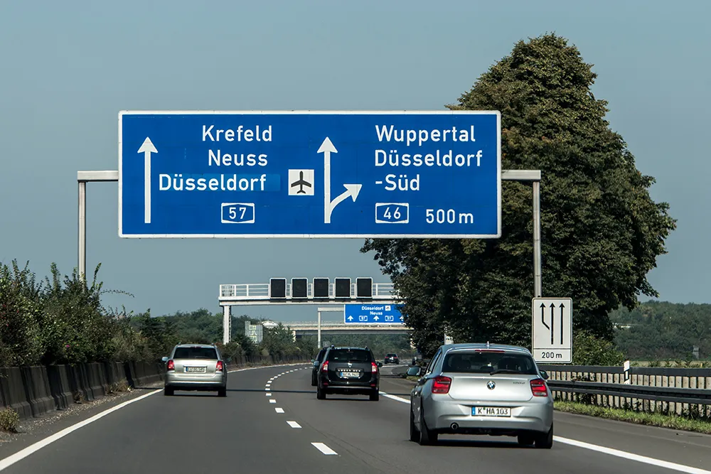
Pride of place on satellite navigation pioneer TomTom’s stand is very high resolution 3D mapping, initially for Germany, which it says provides the 10cm accuracy necessary for highly automated vehicles. Its mainstream mapping is also high definition meaning the image can be used on any size of screen – as visitors can see.
October 8, 2015 Read time: 2 mins
Matthieu Campion of TomTom with the company's technology

Pride of place on satellite navigation pioneer 1692 TomTom’s stand is very high resolution 3D mapping, initially for Germany, which it says provides the 10cm accuracy necessary for highly automated vehicles. Its mainstream mapping is also high definition meaning the image can be used on any size of screen – as visitors can see.

Also highlighted is the company’s smartphone navigation app – increasingly favoured by occasional users of navigation services while it finds regular users such as delivery drivers are staying with dedicated devices. 
Marketing manager, automotive, Matthieu Campion said his company has many reciprocal agreements with road authorities to both receive and deliver traffic information and is working on algorithms to predict traffic conditions over the coming 15 minutes.  

And with changes happening on 15% of major routes each year, the company is working on speeding the verification and map updating process to a matter of a few days, or potentially hours, rather than weeks or a month as it is currently. “Much depends on where the users’ maps are actually located; in their devices (which are currently updated quarterly) or on our servers which can be readily updated,” says Campion.

There is currently discussions with the vehicle manufacturers about a strategy for high frequency updates and whether to update the area around the vehicle or along the selected route.

For more information on companies in this article

Related Content

  • Autobahn shows it is on the ball
    March 25, 2022
    Germany has just created a central organisation to oversee the country’s 13,200km of motorways. David Arminas finds out about Autobahn’s role in cooperative ITS - and its part in the Euro 2024 football tournament
  • Google live traffic announced for 13 European countries
    April 19, 2012
    Google has announced that it is making road traffic conditions available in 13 countries in Europe. The new traffic information is in the traffic layer on Google Maps, Google Maps for mobile, and Google Maps Navigation (Beta). Coverage includes all freeways and highways, as well as large roads in major cities in Austria, Belgium, Czech Republic, Denmark, Germany, Ireland, Israel, Luxembourg, Netherlands, Poland, Slovakia, Spain and Switzerland. Users in the UK will also benefit from a finer grain of street
  • ITS events vital forum for networking, calls to action
    February 6, 2012
    Tom Kern, executive VP of ITS America, on why he believes events like the forthcoming ITS World Congress are so important for the industry
  • ITS events vital forum for networking, calls to action
    January 20, 2012
    Tom Kern, executive VP of ITS America, on why he believes events like the forthcoming ITS World Congress are so important for the industry. This October's World Congress on Intelligent Transport Systems is coming home. Home to Orlando, that is. The first America's-based World Congress took place in Orlando in 1996 and now, 15 years later, the sixth Americas World Congress and 18th overall returns just in time to see how far Florida has come in the deployment of ITS technologies helping to make for safe, mob