Autonomous vehicle accuracy mapping from TomTom

Pride of place on satellite navigation pioneer TomTom’s stand is very high resolution 3D mapping, initially for Germany, which it says provides the 10cm accuracy necessary for highly automated vehicles. Its mainstream mapping is also high definition meaning the image can be used on any size of screen – as visitors can see.
October 8, 2015 Read time: 2 mins
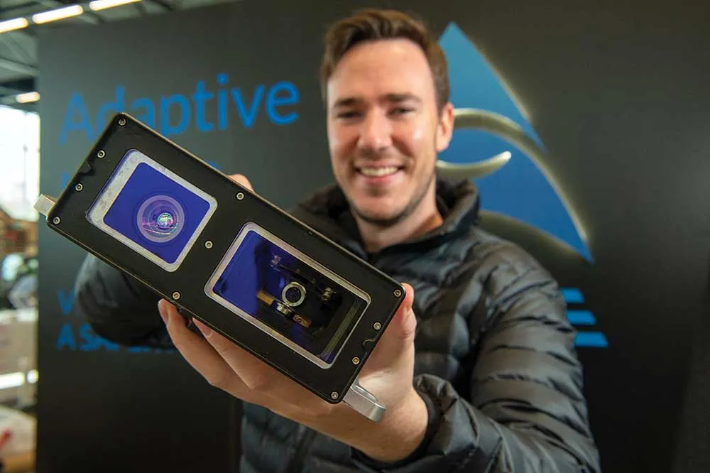
Matthieu Campion of TomTom with the company's technology

Pride of place on satellite navigation pioneer 1692 TomTom’s stand is very high resolution 3D mapping, initially for Germany, which it says provides the 10cm accuracy necessary for highly automated vehicles. Its mainstream mapping is also high definition meaning the image can be used on any size of screen – as visitors can see.

Also highlighted is the company’s smartphone navigation app – increasingly favoured by occasional users of navigation services while it finds regular users such as delivery drivers are staying with dedicated devices. 
Marketing manager, automotive, Matthieu Campion said his company has many reciprocal agreements with road authorities to both receive and deliver traffic information and is working on algorithms to predict traffic conditions over the coming 15 minutes.  

And with changes happening on 15% of major routes each year, the company is working on speeding the verification and map updating process to a matter of a few days, or potentially hours, rather than weeks or a month as it is currently. “Much depends on where the users’ maps are actually located; in their devices (which are currently updated quarterly) or on our servers which can be readily updated,” says Campion.

There is currently discussions with the vehicle manufacturers about a strategy for high frequency updates and whether to update the area around the vehicle or along the selected route.

For more information on companies in this article

Related Content

  • AEye sets sights on Lidar solutions
    March 29, 2022
    AEye, a global leader in adaptive, high-performance lidar solutions, is showcasing its 4Sight M Adaptive Lidar and demonstrating live pedestrian tracking.
  • Integrate systems to reduce roadside infrastructure
    January 27, 2012
    David Crawford reviews promising current developments. Instrumentation of the road infrastructure has grown to become one of the most dynamic sectors of the ITS industry. Drivers for its deployment include global concerns over the commercial and environmental pressures of traffic congestion, the importance of keeping drivers informed throughout their journeys, and the need to reduce accident rates and promote the safety of all road users, for example by enforcing traffic safety rules.
  • Ford targets fully autonomous vehicle in 2021
    August 17, 2016
    Ford has announced its intention to have a high-volume, fully autonomous vehicle in commercial operation in 2021. The new vehicle will be a Society of Automotive Engineers-rated level 4-capable vehicle without a steering wheel or gas and brake pedals. It is being specifically designed for commercial mobility services, such as ride sharing and ride hailing, and will be available in high volumes. SAE level 4 is one level below full automation and is defined as ‘mode-specific performance by an automated
  • Lidar: beginning to see the light
    March 14, 2022
    Lidar feels like a technology whose time has come – but why now? Adam Hill talks to manufacturers, vendors and system integrators in the sector to assess the state of play and to find out what comes next