A predictive solution to determine likely future collisions is emerging as a key tool in reducing road deaths.
RoadTrace Vision Zero, developed by Aisin, uses harsh-braking data from connected vehicles - rather than historical crash data after people are killed or injured - to identify dangerous locations on the road network.
A paper presented at ITS World Congress 2024 in Dubai found this enabled a 22% improvement in prediction rate compared to an equivalent number of historical crash locations, thus allowing much quicker detection of future collisions - including those which "could not be predicted even using five years of historical road crash data".
Last month, RoadTrace received the UK Department for Transport’s Special Recognition Award 2024 for Transport Technology Innovation.
The system is now in use by 15 highway authorities across the UK and last year was piloted as part of a National Highways project. RoadTrace is partnering with approximately 50 highways authorities and road operators across five countries.
UK road safety experts and bereaved families are uniting to urge local authorities, safer roads partnerships and police forces to adopt the RoadTrace product in order to identify and address high-risk locations before crashes occur.
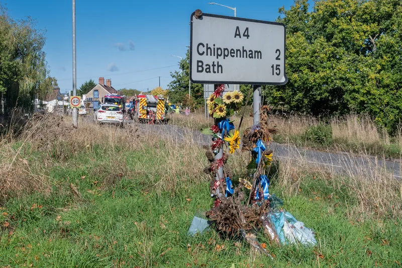
In 2023, 1,695 people were killed and 139,267 injured in collisions on the UK’s roads.
Chris Taylor, whose 18-year-old daughter Rebecca was killed in a road crash in 2008, says: “We should not have to wait for a death for action to be taken, when there is technology that can identify something that is likely to cause an issue for other drivers.”
“One recurring theme in the reports issued by coroners to prevent future deaths is that they often call for action on known issues," he added. "This includes concerns about bends, crossings, flooding, junctions, inspections, lighting, potholes, road layout, signage, and speed. It’s heartbreaking to see that, in many cases, the location of a collision is identified as a known blackspot. As you can imagine, this offers no consolation to a family who has lost their loved one."
Chris Stark, group road safety manager at West Sussex County Council, said: “By identifying high-risk areas through connected vehicle data and detailed harsh braking analysis, we have been able to prioritise critical areas on our network before collisions occur."
“This targeted insight is allowing us to prioritise the allocation of public funds more effectively to reduce collisions and serious injuries. The insights delivered by RoadTrace is empowering us to make data-driven decisions to improve road safety.”
Jon Munslow, former assistant director of highways maintenance at Cambridgeshire County Council and past president of the Local Government Technical Advisors Group UK, said: “RoadTrace brings a fundamental change to local highways' road safety. Using vehicle data enables road safety teams to investigate potential collision sites with the confidence that they are focusing on the right ones at the right time, enabling action before someone gets hurt."