Vaisala forecasts the Xweather

Data ranges from road conditions and air quality to heat wave detection and lightning strikes
By Adam Hill October 3, 2022 Read time: 2 mins
Vaisala's XWeather suite provides weather and environmental data

Vaisala has launched Xweather, a forecast and observation suite of services providing real-time and hyperlocal weather and environmental data via sensors and machine learning.

Information ranges from road conditions and air quality to heat wave detection and lightning strikes, using what Vaisala calls "a combination of intelligent hardware and software, utilising the latest artificial intelligence and machine learning technologies".

The firm says Xweather brings a new level of accuracy to forecasting by combining massive amounts of weather and environmental data from several sources.

“Until now, the lack of real-time, local data has been a major source for error in weather and environment forecasting," says Samuli Hänninen, head of Xweather.

"With Xweather, businesses and developers can utilise data about the environment in real time from a hyperlocal location that is relevant for them."

Solutions include predicting the availability of renewable energy - such as wind and solar - to increased driving safety and air quality monitoring.

Xweather can also be used to predict lightning strikes at roadsides, which means infrastructure and rescue services can be mobilised quickly to manage a potential fire and thus protect homes and lives.

“Understanding is not enough: we need to take action," continues Hänninen. "We want to help organisations not only think and plan, but to act. The data and insight are available now, let’s together put that data to work."

Xweather data products can be delivered as API or enterprise package and include:

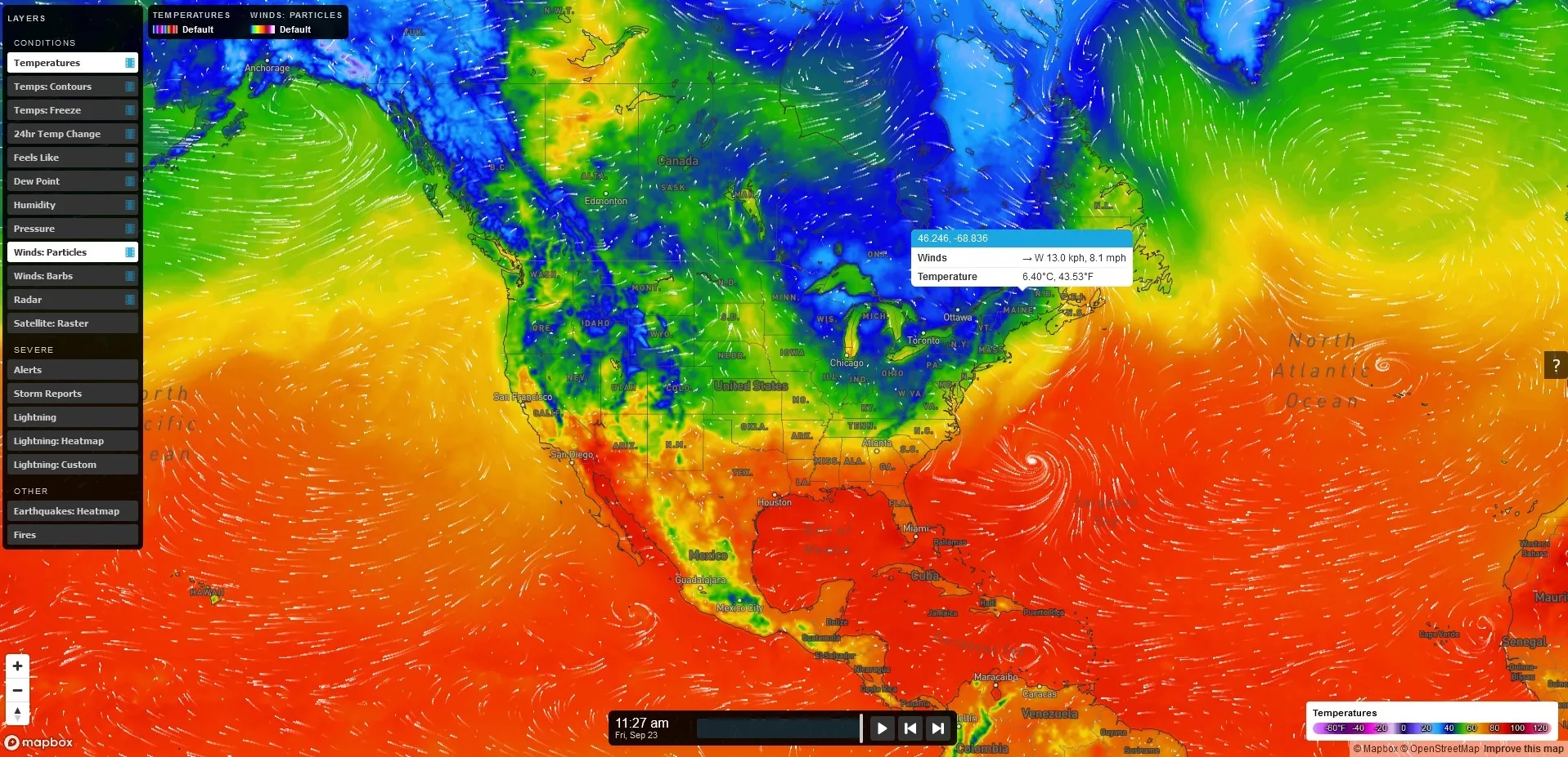
MapsGL – high-quality, vector-based weather data, imagery, and visualisations.

Automotive – Weather, road weather, and air quality information for infotainment, navigation, advanced driver assistance, and autonomous driving.

Lightning – Real-time lightning data, including classification of strikes and their damage potential.

Renewable energy – Historic data sets and forecasted wind and solar data.

Air quality – Air Quality Index and a hyperlocal Air Quality Forecast service connected to local sensors for street level AQ information and forecasts. 

Solutions for businesses with Xweather include Wx Beacon, Thunderstorm Manager, Wx Horizon and RoadAI.
 

For more information on companies in this article

Related Content

  • Lufft sensors help German smart city
    August 10, 2020
    Using data can increase efficiency. Jerg Theurer of Mhascaro explains how one German town is becoming a smart city – with some help from Lufft sensors in a winter roads project
  • EVs & smart cities: Tritium keeps things moving
    December 3, 2018
    Electric vehicles are widely expected to play a major role in the smarter, cleaner cities of the future. Paul Sernia explains why – and looks at the place of ultra-rapid chargers as part of a versatile public infrastructure Electric vehicles (EVs) are widely expected to play a major role in the smarter, cleaner cities of the future. With no dirty tailpipe, EVs can help improve the polluted air of inner cities. And when deployed as widely shared assets – through car clubs, ride-sharing services and taxi
  • Why integrated traffic management needs a cohesive approach
    April 10, 2012
    Traffic control is increasingly being viewed as one essential element of a wider ‘system of systems’ – the smart city. Jason Barnes, Jon Masters and David Crawford report on latest ideas and efforts for making cities ‘smarter’ Virtually every element of the fabric and utilitarian operations that make urban areas tick can now be found somewhere in the mix that is the ‘smart city’ agenda. Ideas have expanded and projects pursued in different directions as the rhetoric on making cities ‘smarter’ has grown. App
  • TomTom partners with Duel to deliver real-time traffic information for city of Rome
    September 20, 2012
    TomTom is to partner with traffic management experts Duel to provide location and traffic information in the Lazio region of Italy, including Rome. TomTom will deliver a combination of maps, and both historical and real-time traffic information to support forecasting of traffic for the area. Drivers will benefit from a more comprehensive and accurate view of what is going to happen on the road networks, enabling them to choose the best possible route to their destination. TomTom HD Flow delivers speed info