Vaisala has launched Xweather, a forecast and observation suite of services providing real-time and hyperlocal weather and environmental data via sensors and machine learning.
Information ranges from road conditions and air quality to heat wave detection and lightning strikes, using what Vaisala calls "a combination of intelligent hardware and software, utilising the latest artificial intelligence and machine learning technologies".
The firm says Xweather brings a new level of accuracy to forecasting by combining massive amounts of weather and environmental data from several sources.
“Until now, the lack of real-time, local data has been a major source for error in weather and environment forecasting," says Samuli Hänninen, head of Xweather.
"With Xweather, businesses and developers can utilise data about the environment in real time from a hyperlocal location that is relevant for them."
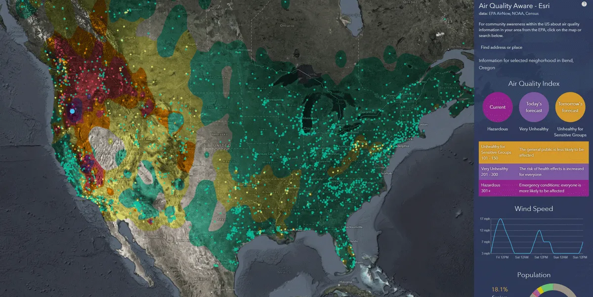
Solutions include predicting the availability of renewable energy - such as wind and solar - to increased driving safety and air quality monitoring.
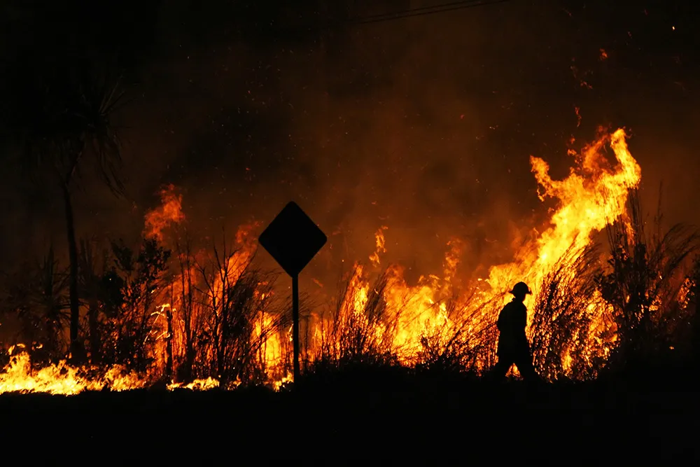
Xweather can also be used to predict lightning strikes at roadsides, which means infrastructure and rescue services can be mobilised quickly to manage a potential fire and thus protect homes and lives.
“Understanding is not enough: we need to take action," continues Hänninen. "We want to help organisations not only think and plan, but to act. The data and insight are available now, let’s together put that data to work."
Xweather data products can be delivered as API or enterprise package and include:
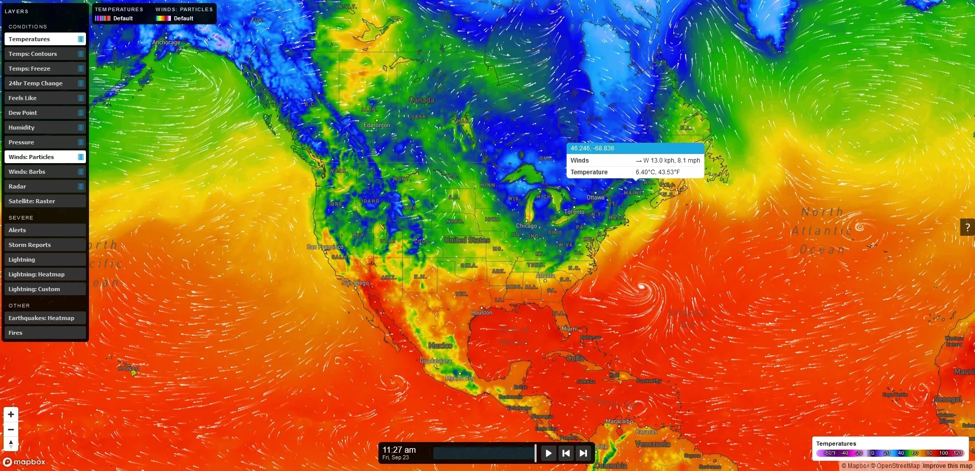
MapsGL – high-quality, vector-based weather data, imagery, and visualisations.
Automotive – Weather, road weather, and air quality information for infotainment, navigation, advanced driver assistance, and autonomous driving.
Lightning – Real-time lightning data, including classification of strikes and their damage potential.
Renewable energy – Historic data sets and forecasted wind and solar data.
Air quality – Air Quality Index and a hyperlocal Air Quality Forecast service connected to local sensors for street level AQ information and forecasts.
Solutions for businesses with Xweather include Wx Beacon, Thunderstorm Manager, Wx Horizon and RoadAI.