Vaisala Digital chills with Wx Horizon

System analyses and visualises road data to help winter driving
By David Arminas June 19, 2020 Read time: 1 min
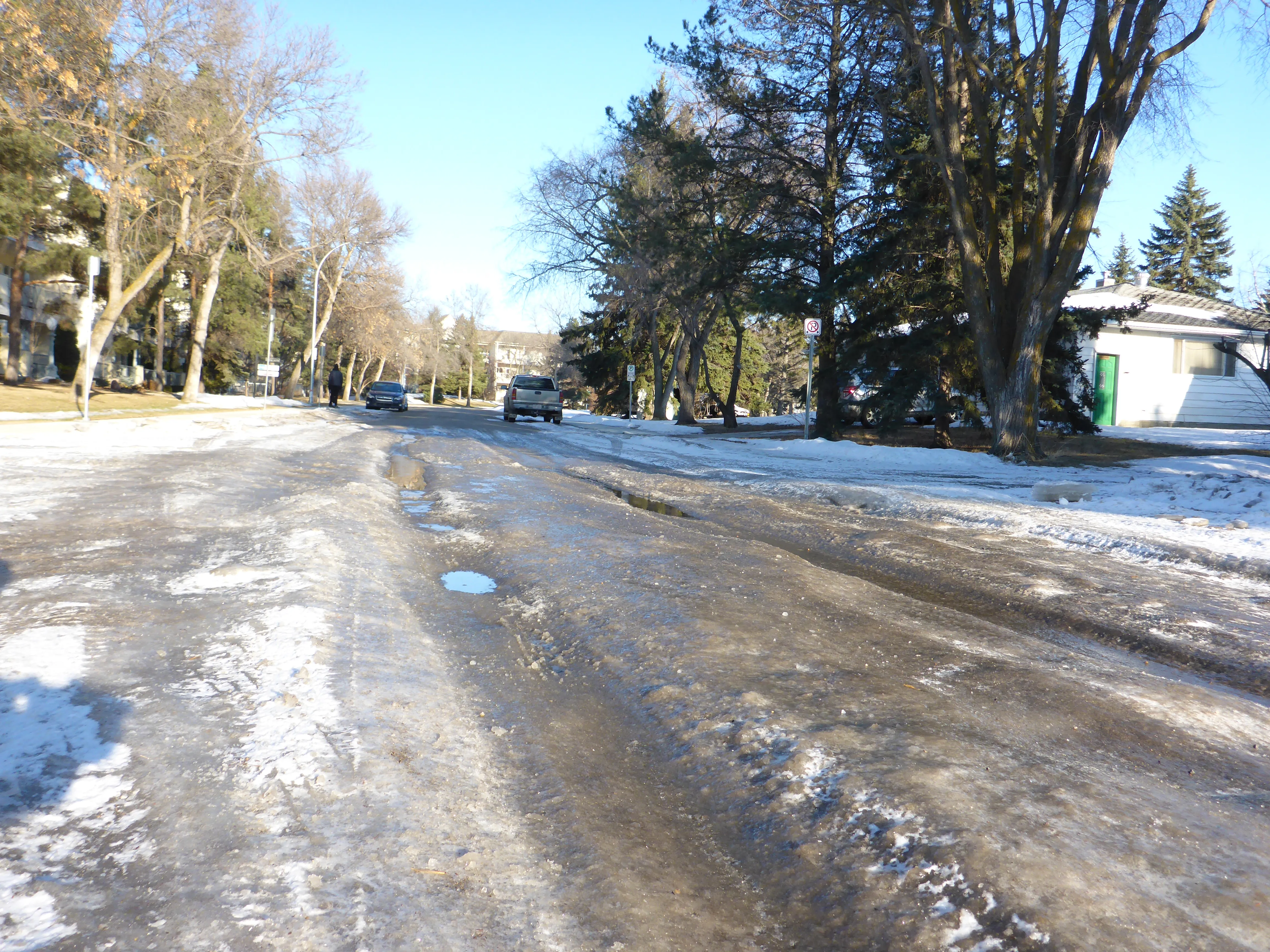
Pass the salt, please: Wx Horizon helps prioritise treatments (© David Arminas/World Highways)

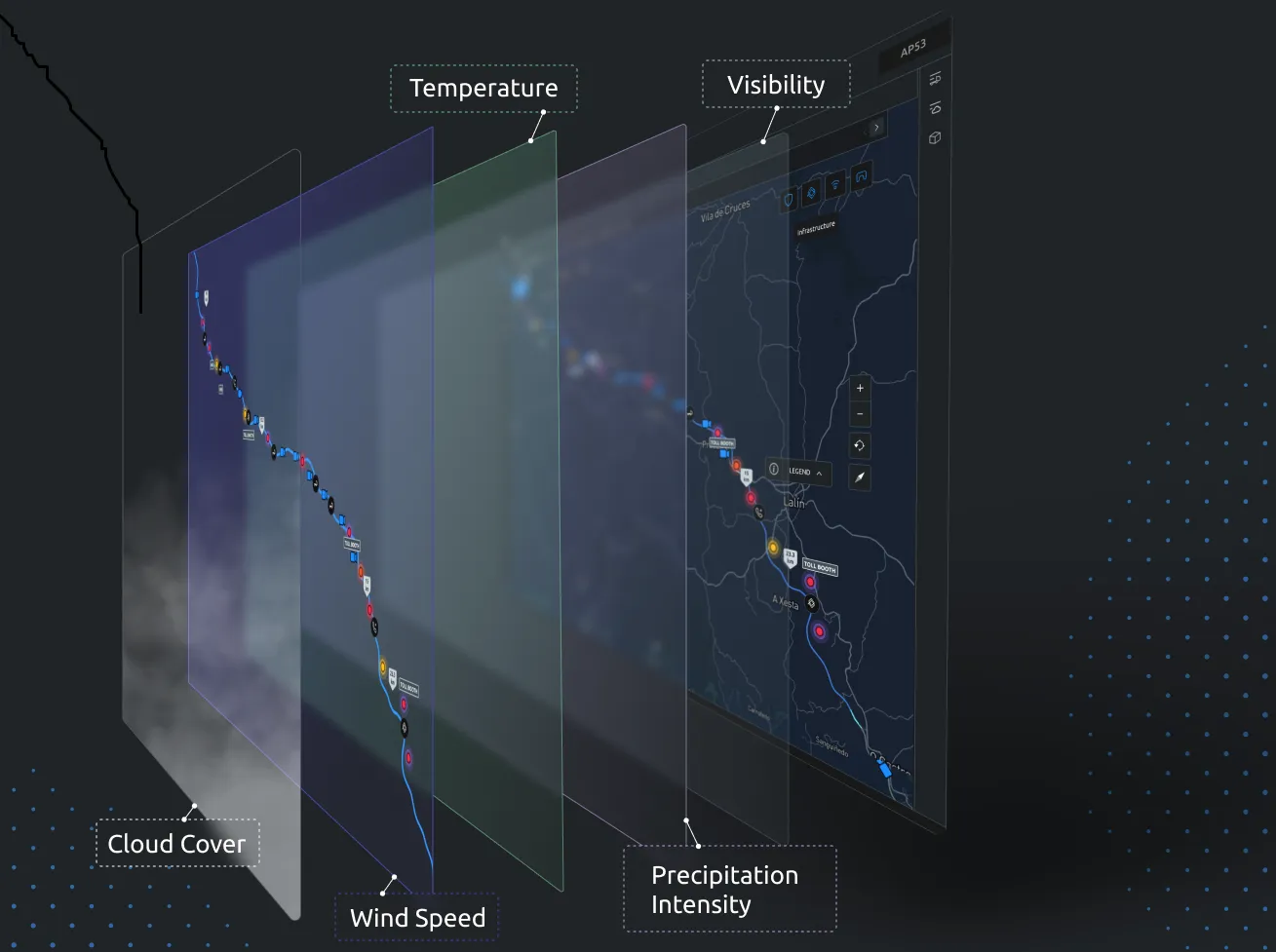
Vaisala Digital has launched Wx Horizon to manage the impact of winter weather upon ground transportation.

The company says this is a first-of-its-kind digital service offering.

Wx Horizon aggregates, analyses and visualises real-time road data from mobile sensors, Internet of Things sensors, road weather information systems and environmental sensor stations using a secure, cloud-hosted interface.

In this way, it provides municipalities and state departments of transportation with a clear picture of the road state so decision-makers can take immediate action to ensure safety on their roadways.

“By knowing when the storm will occur and the form it will take, agencies can better optimise resources to respond to that event,” said Markus Melin, vice president of Vaisala Digital.

After analysing current and forecasted conditions, Wx Horizon helps managers prioritise treatments, optimise salt and liquid usage and plan equipment resources efficiently to combat the impact of winter weather on roadways.

For more information on companies in this article

Related Content

  • Digital Light Processing transforms travel information
    July 19, 2012
    David Crawford investigates the potential of new projection technology. Fifty years on from its invention of the microchip, US company Texas Instruments (TI) has compressed the technology into a surface area of just 4.3mm. As such, it forms the heart of a new Pico Digital Light Processing (DLP) system that is set to transform travel information delivery for millions of users on the move - by making it projectable.
  • Econolite & Derq team up in Orange County
    September 2, 2024
    AI-powered safety solution in place at 52 signalised intersections in California
  • Lanternn by Valerann uses power of Big Data
    August 30, 2023
    Product continuously processes data streams to deliver 100% road monitoring coverage
  • Integrated corridor management 'to enhance travel efficiency'
    August 29, 2012
    New systems of software are coming together to form the technological backbone of a project that will apply practically to one corridor in Dallas, but influence travel across a wider area. Dallas Area Rapid Transit (DART) is the lead agency for an extensive Integrated Corridor Management (ICM) project in Dallas, covering an area stretching north east of downtown Dallas, 20 miles long by two miles wide. The corridor is defined loosely by the US-75 freeway and DART’s light rail ‘red line’. These are the theor