Vaisala Digital chills with Wx Horizon

System analyses and visualises road data to help winter driving
By David Arminas June 19, 2020 Read time: 1 min
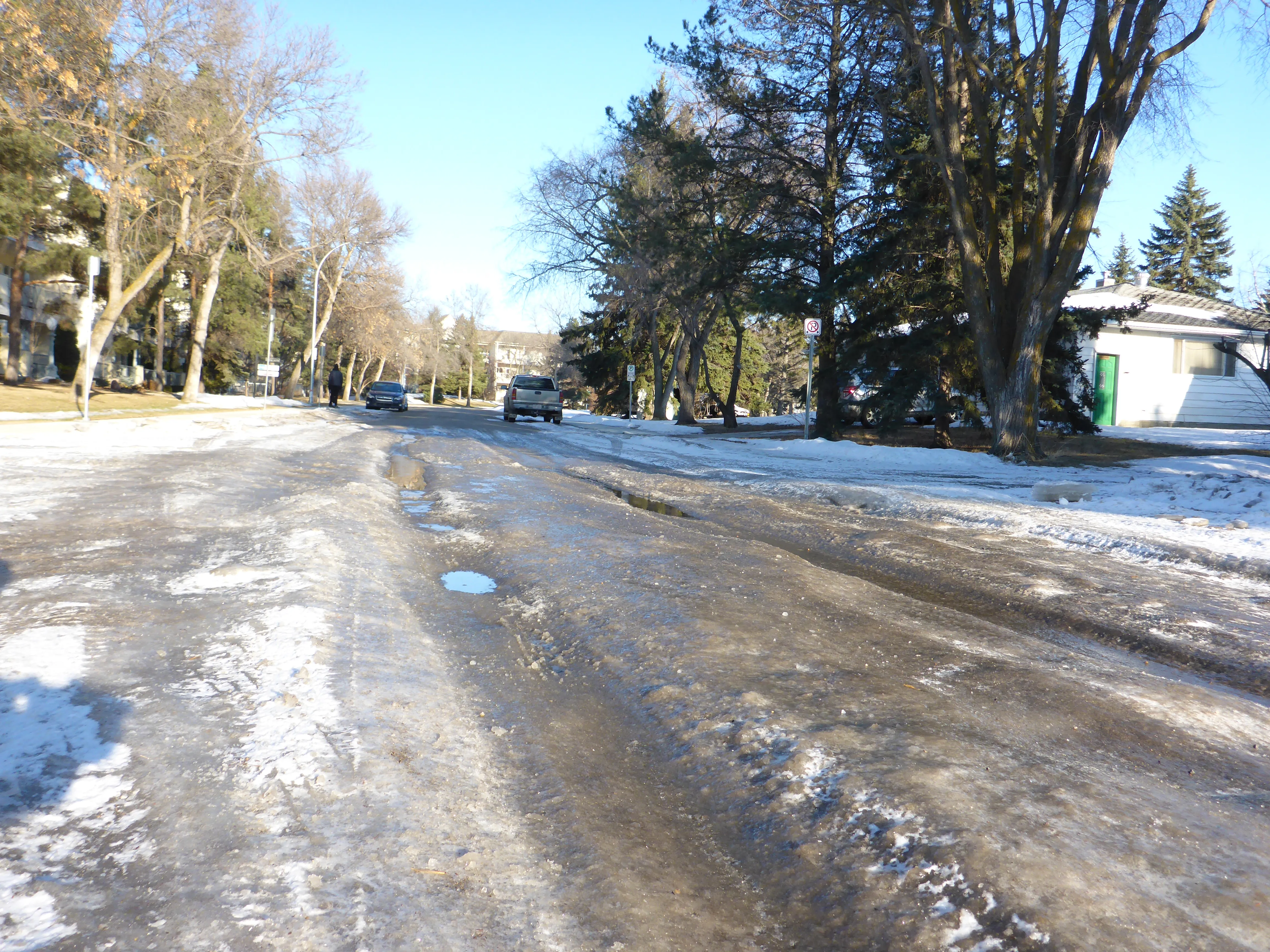
Pass the salt, please: Wx Horizon helps prioritise treatments (© David Arminas/World Highways)

Vaisala Digital has launched Wx Horizon to manage the impact of winter weather upon ground transportation.

The company says this is a first-of-its-kind digital service offering.

Wx Horizon aggregates, analyses and visualises real-time road data from mobile sensors, Internet of Things sensors, road weather information systems and environmental sensor stations using a secure, cloud-hosted interface.

In this way, it provides municipalities and state departments of transportation with a clear picture of the road state so decision-makers can take immediate action to ensure safety on their roadways.

“By knowing when the storm will occur and the form it will take, agencies can better optimise resources to respond to that event,” said Markus Melin, vice president of Vaisala Digital.

After analysing current and forecasted conditions, Wx Horizon helps managers prioritise treatments, optimise salt and liquid usage and plan equipment resources efficiently to combat the impact of winter weather on roadways.

For more information on companies in this article

Related Content

  • Caltrans takes the long view of transport
    October 21, 2016
    Caltrans’ Malcolm Dougherty took time out of his schedule at ITS America 2016 in San Jose to talk to ITS International about current and future challenges. As director of California Department of Transportation (Caltrans) since mid-2012, many would say that Malcolm Dougherty has one of the best jobs in transportation. Caltrans is one of the most progressive and innovative transport authorities, implementing policies to encourage cycling, piloting new
  • Ertico coordinates big data debate
    November 2, 2016
    David Crawford finds that agreeing a common data standard for auto manufacturers’ onboard sensors, navigation system companies and map makers is proving a complex task.
  • Vietnam uses big data to transform city systems
    August 16, 2013
    With one of the highest population growths in Vietnam and the subsequent strain on resources, Da Nang, the country’s fourth largest city, has turned to IBM technology to increase the manageability and efficiency of the city’s systems. Using IBM’s intelligent operations centre, the Da Nang government will address two of the most significant issues impacting life in the city, transportation and water. The solution provides a summary of events and incidents through maps, dashboards and alerts, allowing city pe
  • Baron unveils weather forecasting model
    June 28, 2019
    Baron has launched a weather forecasting model which it says can be used for ITS and traffic applications. According to Baron, the solution offers predictive parameters 66 hours into the future at 3km resolution at hourly intervals. It can also run a second set of parameters 90 hours into the future at 15km resolution, the company adds. Bob Dreisewerd, vice president of development at Baron, explained the idea behind the new launch: “First and foremost was accuracy. We wanted a more accurate weather mod