Vaisala Digital chills with Wx Horizon

System analyses and visualises road data to help winter driving
By David Arminas June 19, 2020 Read time: 1 min
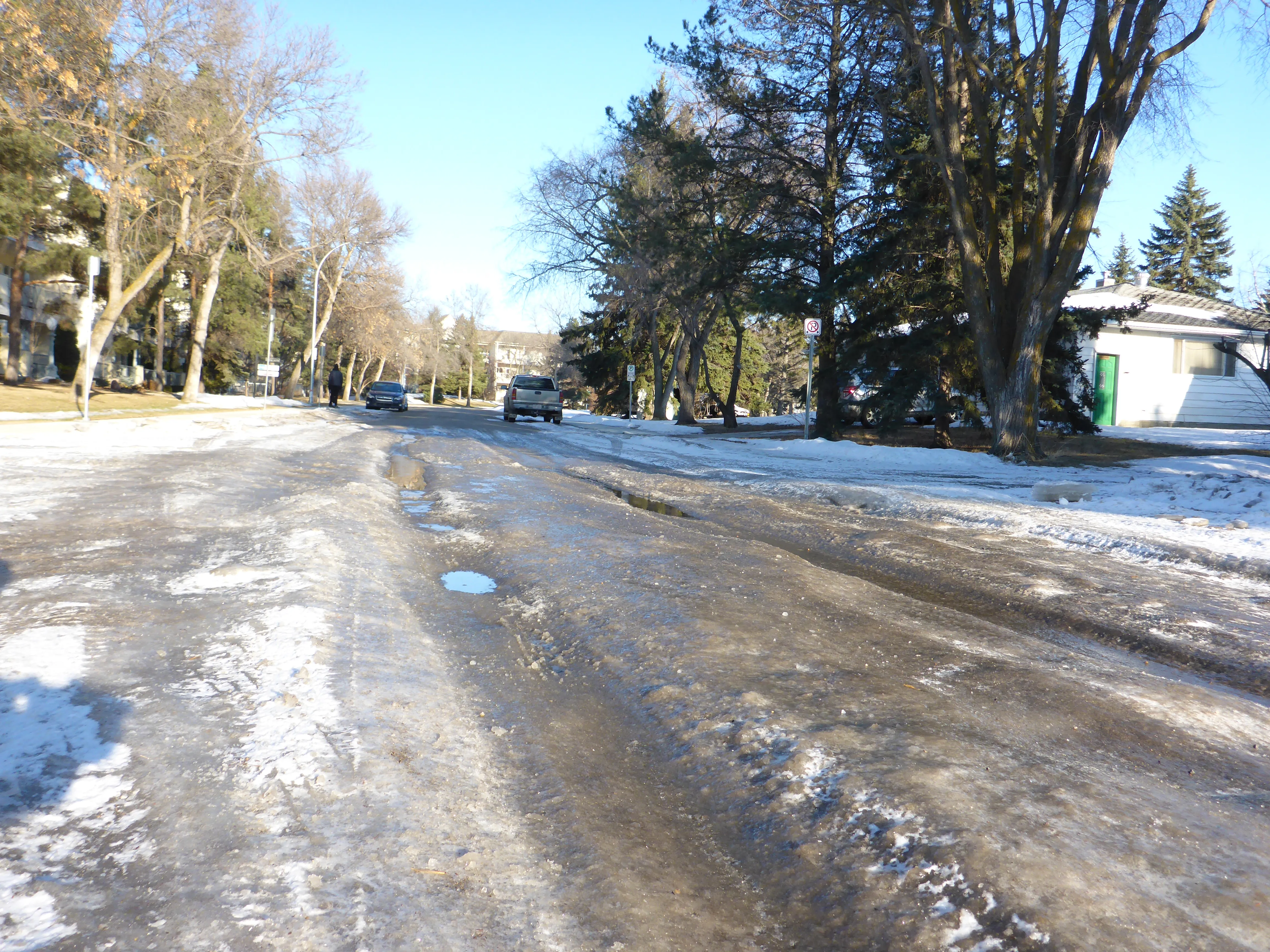
Pass the salt, please: Wx Horizon helps prioritise treatments (© David Arminas/World Highways)

Vaisala Digital has launched Wx Horizon to manage the impact of winter weather upon ground transportation.

The company says this is a first-of-its-kind digital service offering.

Wx Horizon aggregates, analyses and visualises real-time road data from mobile sensors, Internet of Things sensors, road weather information systems and environmental sensor stations using a secure, cloud-hosted interface.

In this way, it provides municipalities and state departments of transportation with a clear picture of the road state so decision-makers can take immediate action to ensure safety on their roadways.

“By knowing when the storm will occur and the form it will take, agencies can better optimise resources to respond to that event,” said Markus Melin, vice president of Vaisala Digital.

After analysing current and forecasted conditions, Wx Horizon helps managers prioritise treatments, optimise salt and liquid usage and plan equipment resources efficiently to combat the impact of winter weather on roadways.

For more information on companies in this article

Related Content

  • US 511 system, the future of traveller information?
    April 23, 2013
    What started out at the turn of the millenium as a simple dial-up travel information service has grown out of all recognition in the digital age. Pete Goldin surveys the development to date of the US 511 traveller information system. In a little over a decade, 511 has gone from its original intent – a collection of recorded messages accessible via phone for pre-trip planning – to a network of dynamic traveller information services provided by states and cities throughout the US, offering access to a wide v
  • Cloud computing technology benefits GIS
    July 17, 2012
    Geographic Information Systems are a relatively late adopter of cloud computing,but the benefits of host services for geospatial data and analysis are becoming clear. Jason Barnes reports Both the concept and the reality of cloud computing have been around for some time. More and more industry sectors are entrusting external service providers with the provision of their computing services via the internet. However, the Geographic Information System (GIS) industry has been slow to embrace the trend. This is
  • GIS mapping smoothes ITS operations and increases efficiencies
    January 30, 2012
    Alexander Gerschenkron, the famous economic historian, once posited a benefit for those countries which come late to economic development: that they could introduce the latest technology and thus jump over some of the standard development paths followed by their predecessors . It is entirely possible to make the same observation of late-comers to ITS: that they can gain from the pains of those who went before and more easily implement best practice in ITS. As a consequence, it is entirely likely the Abu Dha
  • CRASH Predicts ‘unpredictable’ in traffic incidents
    November 11, 2015
    Road crashes are not as random as they may appear and analysing data can reveal patterns that can help various authorities target their resources more accurately. David Crawford reports. Figures from the US National Highway Traffic Safety Administration (NHTSA) show that in 2013 there were 32,719 people killed on American roads and 2.31 million injured. While these form part of an overall 25% drop over the decade from 2004, US Transportation Secretary Anthony Foxx continues to stress that reaching the procl