
Vaisala Digital chills with Wx Horizon

System analyses and visualises road data to help winter driving
By David Arminas June 19, 2020 Read time: 1 min
Pass the salt, please: Wx Horizon helps prioritise treatments (© David Arminas/World Highways)

Vaisala Digital has launched Wx Horizon to manage the impact of winter weather upon ground transportation.

The company says this is a first-of-its-kind digital service offering.

Wx Horizon aggregates, analyses and visualises real-time road data from mobile sensors, Internet of Things sensors, road weather information systems and environmental sensor stations using a secure, cloud-hosted interface.

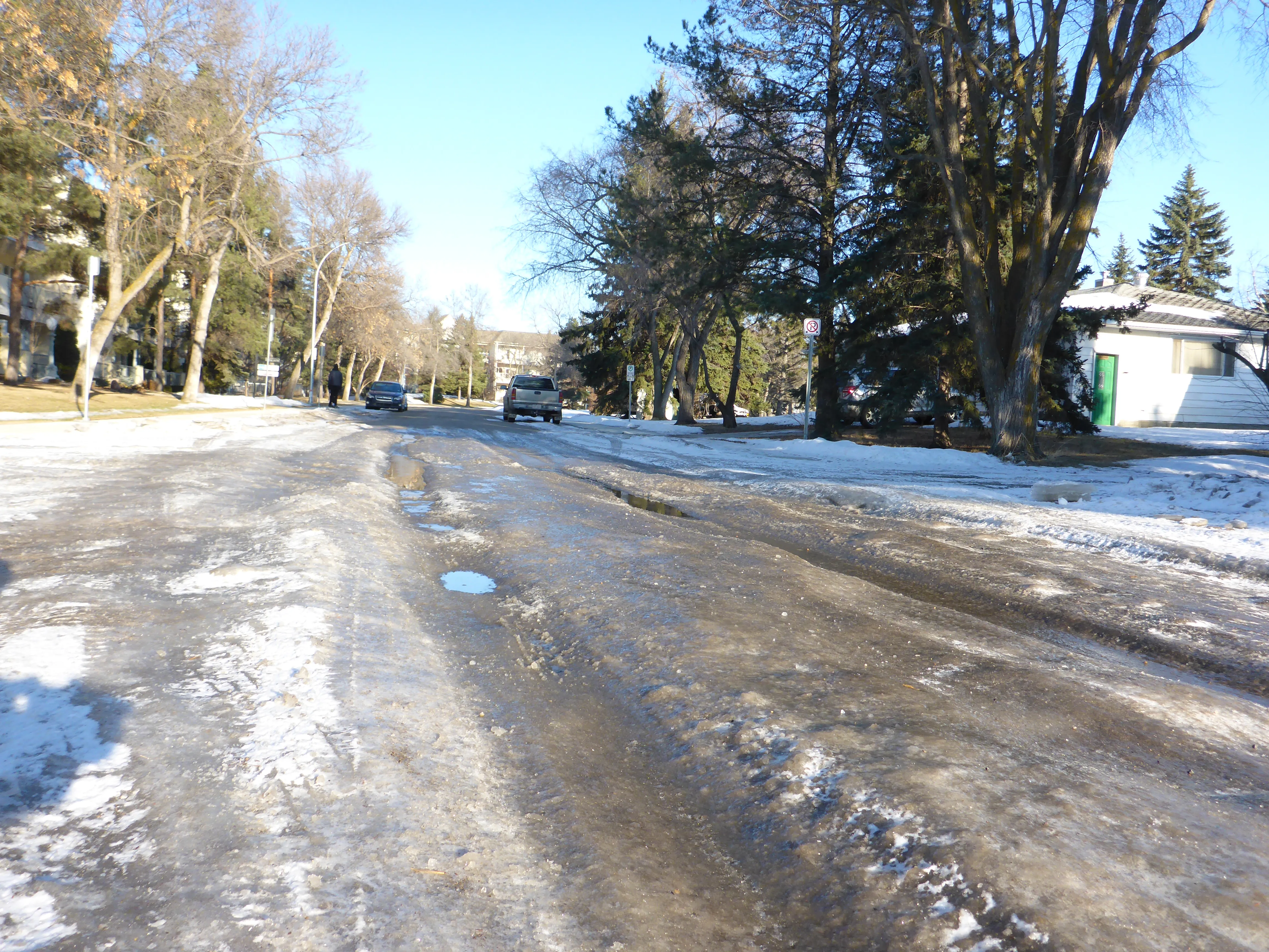
In this way, it provides municipalities and state departments of transportation with a clear picture of the road state so decision-makers can take immediate action to ensure safety on their roadways.

“By knowing when the storm will occur and the form it will take, agencies can better optimise resources to respond to that event,” said Markus Melin, vice president of Vaisala Digital.

After analysing current and forecasted conditions, Wx Horizon helps managers prioritise treatments, optimise salt and liquid usage and plan equipment resources efficiently to combat the impact of winter weather on roadways.

For more information on companies in this article

Related Content

  • Progress towards a pan-European cooperative infrastructure
    July 17, 2012
    Kallistratos Dionelis, General Secretary of ASECAP, makes the case for a lightly regulated, staged progression towards a pan-European cooperative infrastructure environment, the achievement of which should look to engender cooperation between the public and private sectors. Such an approach, he says, is the only real path to success.
  • Haas V2X alerts now available for Škoda
    July 28, 2025
    Emergency vehicle alerts added to Traffication in-vehicle safety app
  • Aeye has eyes on the lidar prize
    September 20, 2022
    AEye and its system integrator partners are showcasing the unrivalled flexibility of software-configurable Lidar to support any ITS application and improved 3D perception. Demonstrations include long- and short-range detection capabilities for automated tolling, incident detection, pedestrian traffic flow and smart intersection safety, powered by AEye’s 4Sight perception solution.
  • Minnesota mobility move from Iteris
    April 26, 2021
    ClearMobility Cloud enables integration with open-source advanced traffic management system