Vaisala Digital chills with Wx Horizon

System analyses and visualises road data to help winter driving
By David Arminas June 19, 2020 Read time: 1 min
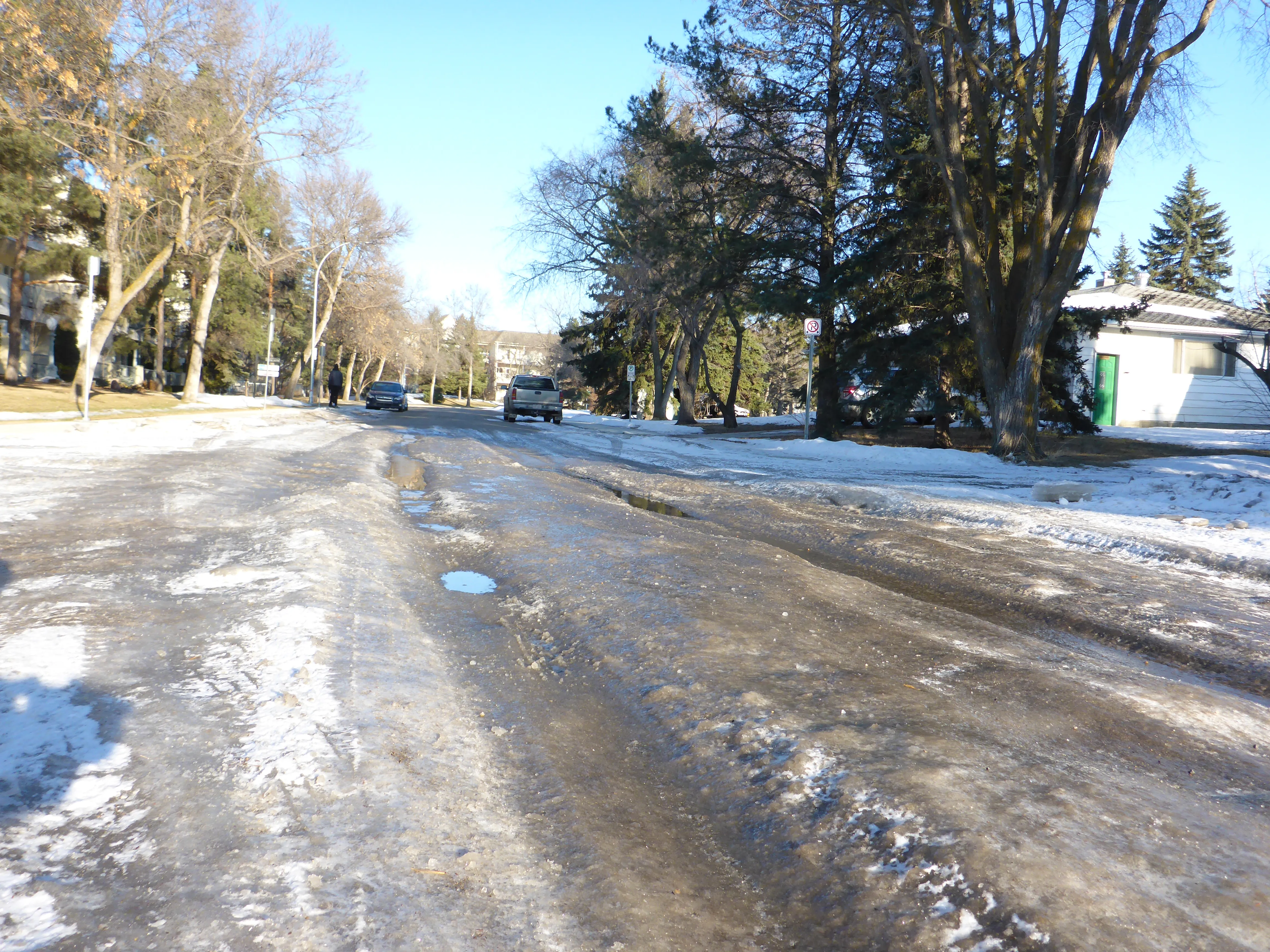
Pass the salt, please: Wx Horizon helps prioritise treatments (© David Arminas/World Highways)

Vaisala Digital has launched Wx Horizon to manage the impact of winter weather upon ground transportation.

The company says this is a first-of-its-kind digital service offering.

Wx Horizon aggregates, analyses and visualises real-time road data from mobile sensors, Internet of Things sensors, road weather information systems and environmental sensor stations using a secure, cloud-hosted interface.

In this way, it provides municipalities and state departments of transportation with a clear picture of the road state so decision-makers can take immediate action to ensure safety on their roadways.

“By knowing when the storm will occur and the form it will take, agencies can better optimise resources to respond to that event,” said Markus Melin, vice president of Vaisala Digital.

After analysing current and forecasted conditions, Wx Horizon helps managers prioritise treatments, optimise salt and liquid usage and plan equipment resources efficiently to combat the impact of winter weather on roadways.

For more information on companies in this article

Related Content

  • Hikvision offers faster and better traffic management decisions
    April 8, 2021
    In today’s crowded cities, effective traffic management is critical for reducing congestion and preventing accidents. With the Hikvision Traffic Visualisation Dashboard, traffic managers can view historical and real-time traffic information, helping them make the best decisions and improve outcomes for road users and residents.
  • Cloud computing technology benefits GIS
    July 17, 2012
    Geographic Information Systems are a relatively late adopter of cloud computing,but the benefits of host services for geospatial data and analysis are becoming clear. Jason Barnes reports Both the concept and the reality of cloud computing have been around for some time. More and more industry sectors are entrusting external service providers with the provision of their computing services via the internet. However, the Geographic Information System (GIS) industry has been slow to embrace the trend. This is
  • Iteris unveils services for managing traffic 
    October 29, 2021
    Services focus on congestion and asset management 
  • Embedded connectivity delivers real time travel information
    February 3, 2012
    Ton Brand describes the GSM Association's Embedded mTelematics programme. As the world's roads become increasingly crowded, consumers and businesses are demanding better real-time information to help them both avoid traffic congestion and make smarter use of public transport. Embedding mobile connectivity directly into vehicles can enable drivers and passengers to see live traffic flows in their localities, as well as the expected arrival time of the next bus, ferry or tram