
Siemens launches Zephyr air monitoring

Integrated with traffic management systems, it measures a range of pollutants
By David Arminas July 3, 2020 Read time: 2 mins
Zephyr is easy to install on any traffic signal pole or lighting column

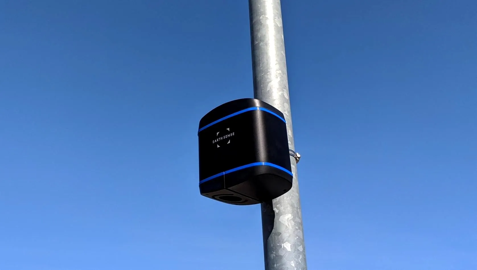
Siemens Mobility and air quality experts EarthSense have launched the Zephyr air quality measurement system for traffic management.

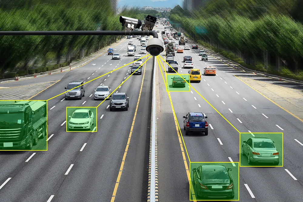
By fully integrating the Zephyr air quality sensor with the traffic signal controller and traffic management system, quality can be measured and monitored in real time.

This allows authorities to make meaningful and timely interventions through Siemens Mobility’s Stratos traffic management system, implementing strategies based on reliable pollution data and prevailing air quality levels.

Zephyr, which is offered as a managed service, has a compact air quality sensor which measures a range of pollutants as well as temperature and humidity to capture an accurate picture of the ambient air quality.

The sensor has a replaceable cartridge system and active sampling process to measure nitrogen dioxide (NO2), nitrogen monoxide (NO), and ozone (O3), as well as particulate matters PM1, PM2.5 and PM10.

Carbon monoxide (CO), hydrogen sulphide (H2S) and sulphur dioxide (SO2) can also be measured, if required, explained Wilke Reints, managing director for the intelligent traffic systems section of Siemens Mobility in the UK.

The system’s real-time monitoring capabilities helps cities meet their air quality targets without putting too much pressure on local economies.

Siemens says that Zephyr is quick and easy to install and commission on any traffic signal pole or lighting column, either as part of a new scheme or retrofitted to existing infrastructure.

It comes in power options, including solar with battery backup and mains.

The device can be connected to low voltage, extra-low voltage and third-party controllers through either a rack-mounted or signal head-mounted power supply.

For more information on companies in this article

Related Content

  • Road space utilisation improves travel times, reduces costs
    February 1, 2012
    For major road works schemes, necessary lane closures are timed to minimise congestion, most frequently at night and on weekends when traffic is at its lightest. As a result, rigid timetables are used in planning, programming and implementing work. In the UK, to calculate the expected traffic demand through roads works, historic profiles from the loop-based MIDAS (Motorway Incident Detection Automatic Signalling) system were used. These provided a valuable indicator of anticipated traffic behaviour but were
  • Teledyne Flir: here’s how to find the right ITS camera
    January 4, 2022
    From lighting to weather, there are so many elements which need to be taken into account when choosing a camera for ITS operations. Riana Sartori from Teledyne Flir offers a buyer’s guide
  • Latest annual rail freight figures show the future for rail freight, say campaigners
    June 9, 2017
    The latest annual Office of Rail and Road (ORR) rail freight statistics show consistent expansion in the key consumer and construction rail freight markets with record levels of traffic, according to the Campaign for Better Transport, demonstrating the potential and demand for rail freight services. This year has been a period of transition for the industry as it adjusts to the deep decline in coal traffic.
  • Cellint measures speed and travel time without roadside infrastructure
    April 10, 2014
    Collecting speed and travel time data without using roadside infrastructure could offer new possibilities to cash-strapped road authorities. Streaming video may be useful for traffic controllers to monitor incidents and automatic number plate recognition may be required for enforcement, but neither are necessary for many ITS functions. For instance travel times, tailbacks, percentage of vehicles turning, origin and destination analysis can all be done using Bluetooth and/or WI-Fi sensors and without video o