
Inrix launches real time road weather information

Inrix Road Weather, the latest product from Inrix, uses data from connected cars and weather predictions to provide information on road conditions with updated alerts every 15 minutes. The system, developed in collaboration with Global Road Weather Corporation, provides information including type of precipitation, surface conditions and visibility.
November 13, 2015 Read time: 1 min

163 Inrix Road Weather, the latest product from Inrix, uses data from connected cars and weather predictions to provide information on road conditions with updated alerts every 15 minutes. The system, developed in collaboration with Global Road Weather Corporation, provides information including type of precipitation, surface conditions and visibility.

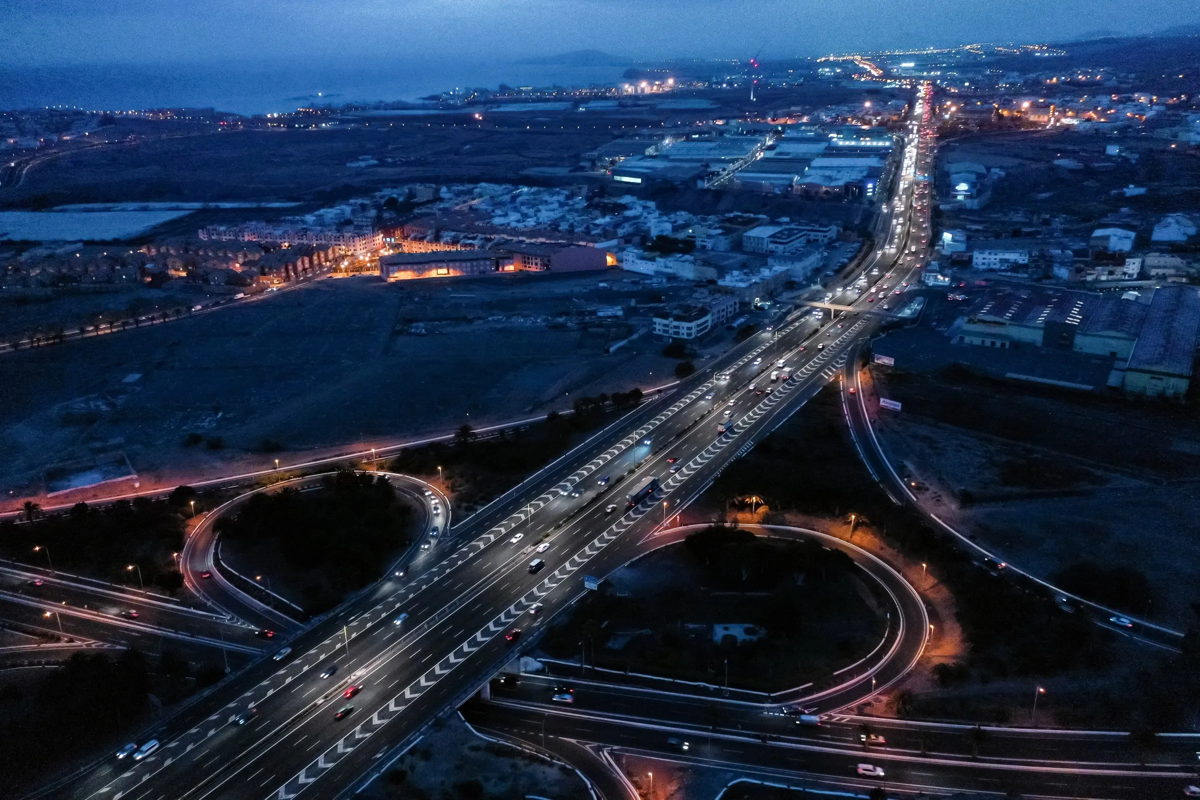
Using a broad set of public and private data sources, real-time vehicle sensor data and forecast modeling technology from Global Weather Corporation, Inrix Road Weather keeps drivers and their vehicles informed of dangerous road conditions ahead.

Road condition information collected by Inrix is analysed and transmitted to other vehicles and mobile applications giving drivers timely information allowing them to adjust their route or driving behaviour before encountering the problem. The service can also be used by public transportation and road maintenance agencies, and assist emergency service personnel to manage traffic flow before an accident occurs.

For more information on companies in this article

Related Content

  • Dutch strike public/private balance to introduce C-ITS services
    November 15, 2017
    Connected-ITS applications are due to appear on a nation-wide scale this summer, through the Netherlands’ Talking Traffic Partnership – if all goes to plan. Jon Masters reports. The Netherlands’ Talking Traffic Partnership (TTP) looks almost too good to be true: an artificial market set up and supported by national, regional and local government to accelerate deployment of Connected ITS (C-ITS) applications. If it does have any serious flaws, these are going to become apparent quite soon, because the first
  • Digital twins help city space race
    October 26, 2022
    As the world becomes more urbanised, there is a need to monitor the likely effects this will have on the way we live, says Jeroen Borst of TNO, the Dutch organisation for applied scientific research
  • BMW Group and Mobileye to use crowd sourced data for automated driving
    February 24, 2017
    BMW Group and Mobileye are to collaborate on introducing Mobileye's Road Experience Management (REM) data generation technology in newly-developed BMW Group models entering the market in 2018. They aim to crowd-source real-time data using vehicles equipped with camera-based advanced driver assist system (ADAS) technology to provide next-generation high definition (HD) maps for autonomous vehicle, which will require them to identify and update changes in the environment with near real-time speed enabling
  • Signify brightens Gran Canaria smart highway
    February 5, 2021
    Interact City connected lighting software can also be used for IoT data collection