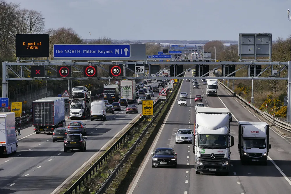
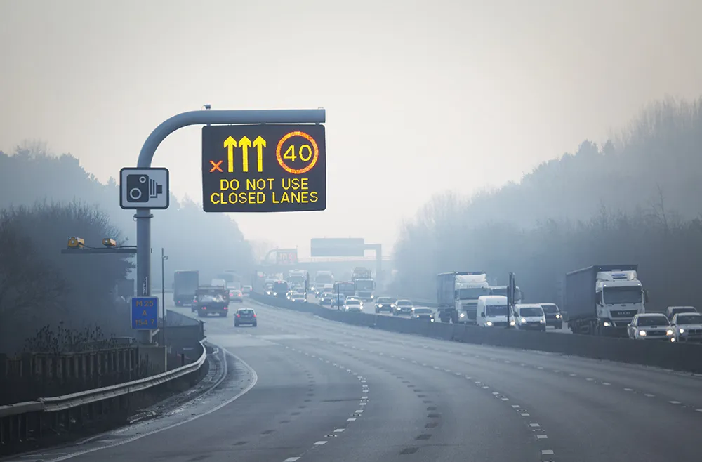
Variable speed signs are being installed on sections of the Coquihalla, Trans-Canada and Sea to Sky highways in Canada, as part of a US$9.4 million pilot project to help reduce the frequency of weather-related crashes.
As part of its US$19 million per year Roadside Safety Program, the Ministry of Transport is installing 18 digital variable speed signs along the highways; overhead message signs at the entrance of each corridor will inform drivers that they are entering a variable speed zone, and to be aware of changing weather conditions. The speed limit will be changed to reflect driving conditions.
An extensive system of traffic, road and visibility sensors will be calibrated to detect the conditions and provide a recommended speed to operations staff. This information will be used to continuously update the speed shown on digital signs, to help drivers adjust their driving speed during adverse weather conditions.
The system will be tested for two to three months before going live, which is expected to be in early 2016.
“As a part of our Rural Highway Safety and Speed Review, we looked at how we could help reduce crashes related to bad weather conditions. One of the ideas was to introduce new digital variable speed limit signs, in areas where the weather can change quickly and sometimes catch drivers off guard,” said Minister of Transportation and Infrastructure Todd Stone. “The electronic signs will adjust the speed limit to let drivers know what speed they should be travelling during winter weather conditions, to help them reach their destination safe and sound.”
Variable speed limits to warn of adverse weather on British Columbia highways
Variable speed signs are being installed on sections of the Coquihalla, Trans-Canada and Sea to Sky highways in Canada, as part of a US$9.4 million pilot project to help reduce the frequency of weather-related crashes.
December 3, 2015
Read time: 2 mins


