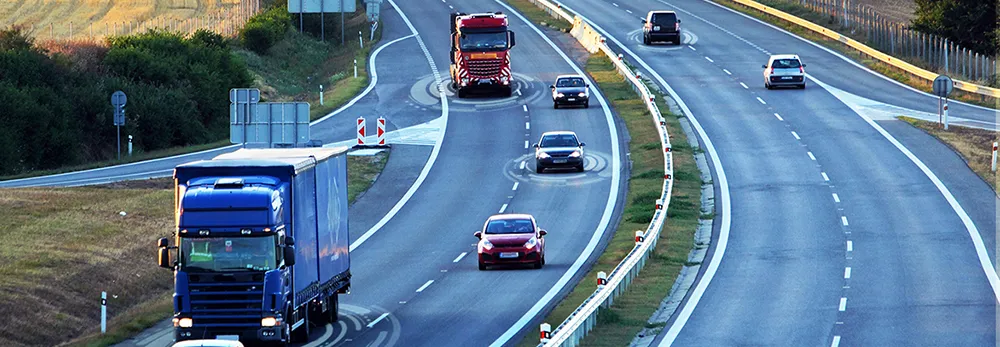
The UK Highways Agency is trialling a system to add commercially available traffic data to its existing sources to monitor how well traffic is flowing on England's motorways and strategic roads. Similar data sources are already used by satellite navigation devices, smartphones, and applications like Google maps. Better real-time data will allow agency staff to respond more quickly to incidents and identify delays and communicate them to drivers so they can take alternative routes if necessary.
August 9, 2012
Read time: 2 mins
The 1841 UK Highways Agency is trialling a system to add commercially available traffic data to its existing sources to monitor how well traffic is flowing on England's motorways and strategic roads. Similar data sources are already used by satellite navigation devices, smartphones, and applications like Google maps. Better real-time data will allow agency staff to respond more quickly to incidents and identify delays and communicate them to drivers so they can take alternative routes if necessary.
On London’s M25 orbital motorway and its feeder routes a different technology has been successfully trialled to measure journey times which uses anonymous location data from mobile devices, to provide accurate data which will inform the planning of future measures to reduce congestion.
"At the moment control rooms collect information from cameras and a vast number of sensors built into the road surface” says Simon Sheldon-Wilson, Highways Agency traffic management director. “But if an incident happens out of camera shot or if the traffic does not queue back to one of the sensor locations, we don't have a full picture of the problem and there can be delays responding. This new approach would allow us to work with GPS data which will give us the most accurate and comprehensive data set to manage traffic flow and clear up incidents as quickly as possible” he said, adding that the information used for the M25 scheme is historic, not immediate, but will help to develop improvements targeted to reduce congestion and improve reliability.
The scheme to improve the quality of information provided to drivers uses data that comes mostly from vehicle tracking devices installed by fleet operators, and a proportion from mobile sat-nav type devices, including smartphone traffic applications where the user has opted in to making their anonymous location data available.
The M25 scheme uses data that is routinely collected by mobile network operators to monitor signal strengths and network coverage.


