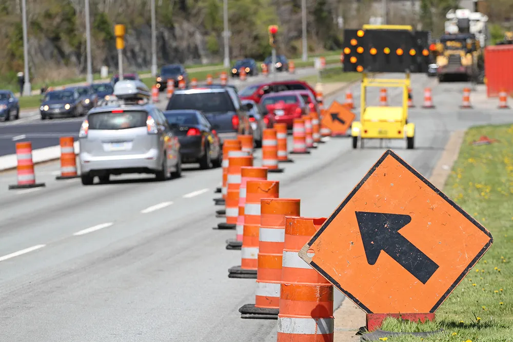
Bob McDonnell, governor of the state of Virginia, has announced that, beginning 22 August, motorists will see travel times displayed on Interstate 66 electronic message signs between the Capital Beltway and Gainesville. The effort is part of the governor's efforts to address congestion on the I-66 corridor. If the Virginia Department of Transportation's (VDOT) two-month pilot project is successful, the agency will be expanded to provide travel times to key destinations along other northern Virginia intersta
RSSBob McDonnell, governor of the state of Virginia, has announced that, beginning 22 August, motorists will see travel times displayed on Interstate 66 electronic message signs between the Capital Beltway and Gainesville. The effort is part of the governor's efforts to address congestion on the I-66 corridor. If the 1747 Virginia Department of Transportation's (VDOT) two-month pilot project is successful, the agency will be expanded to provide travel times to key destinations along other northern Virginia interstates and ultimately to highways throughout the commonwealth.
VDOT is using traffic data from163 Inrix and other sources to determine the travel times. Traffic controllers at the Public Safety Transportation Operations Center in Fairfax County will ensure the travel times are successfully relayed to the electronic message signs and are accurately refreshed every five minutes.
VDOT is using traffic data from