Seattle's 'Smarter Highways' recognised by ITS America

The Seattle Smarter Highways initiative has been recognised by ITS America with a Smart Solution Spotlight award for using innovative technology to create a safer, cleaner, more efficient and sustainable transportation system.
January 31, 2012 Read time: 3 mins

The Seattle Smarter Highways initiative has been recognised by 560 ITS America with a Smart Solution Spotlight award for using innovative technology to create a safer, cleaner, more efficient and sustainable transportation system. Last week, 451 Washington State Department of Transportation  (WSDOT) unveiled new high-tech message signs on Interstate 5 that deliver real-time traffic information to drivers and adjust speeds based on traffic conditions. 

“As public agencies are being asked to do more with less, the Smarter Highways initiative is a great example of how technology can improve highway efficiency, reduce crashes and ease frustration for area commuters without having to build costly new infrastructure,” said ITS America President and CEO Scott Belcher.

Similar initiatives in Europe have resulted in 30 per cent fewer injury collisions, and this project is one of the first deployments in the United States. Using real-time traffic speed and volume data gathered from pavement sensors, WSDOT has deployed 97 electronic overhead signs stationed every half-mile along I-5.  Depending on traffic conditions, drivers will see variable speed limits, lane status alerts, and real-time information about traffic incidents, backups and alternate routes.  Future plans call for ITS technology to be installed on other major travel corridors in the congested Seattle region, including I-90, SR 520 and I-405.

The system automatically adjusts speed limits based on real-world traffic conditions, with staff at WSDOT’s traffic management centre continuously monitoring traffic conditions and making necessary adjustments, including closing lanes as needed to help emergency personnel respond quickly to crashes and other incidents.  In additional, the signs provide advance notice of lane mergers and closures, allowing drivers to change lanes ahead of time or exit the highway to avoid traffic jams.  By knowing in advance about lane closures and traffic back-ups, drivers have more time to adjust their speed and reduce the risk of rear-end collisions.

From 2005 to 2009, there were an average of 434 collisions each year on the seven-mile stretch of northbound I-5 between Boeing Access Road and I-90.  Two-thirds (or 287) of these collisions were rear-end crashes typically caused by congestion that could potentially be avoided by alerting drivers in advance about traffic back-ups.

“It’s exciting to see this leading edge technology in place and watch it respond dynamically to traffic on one of our busiest corridors” said WSDOT Division Director Craig Stone. “Drivers are paying attention to the information displayed on the signs and are following the directions.  The system has only been active a few days but so far, we are pleased with it.”

The new technology is a key element of WSDOT’s congestion relief programme, Moving Washington, and will help manage traffic during major construction on the Alaskan Way Viaduct, one of the most heavily travelled north-south routes for freight and commuters through the Seattle area.

For more information on companies in this article

Related Content

  • Mature solutions for emerging economies
    June 8, 2015
    Siemens’ Marcus Welz talks to David Crawford about suitable ITS solutions for emerging economies. Be bold in vision - and output - and user-oriented in practice,” Marcus Welz advises emerging economies planning ITS investments. Says the Siemens Group senior vice president and global sales director for ITS: “Their road users need better, more reliable and safer trips – but without costs increasing too much. The good news is that many countries are already tackling the big issues of traffic and the environmen
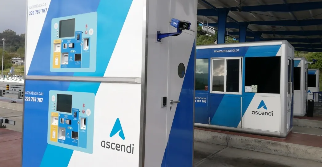
  • Ascendi updates Portugal toll plazas
    July 1, 2022
    Nearly 200 lanes have been equipped with front and rear OCR Tattile Basic ANPR cameras
  • Deriving data to tackle tribal road crashes
    June 14, 2017
    David Crawford looks at a new initiative to deal with high crash and fatality rates on America’s tribal roads. According to the US Centres for Disease Control and Prevention, on average two members of the country’s indigenous communities - American Indians or Alaskan Natives (AI/AN) - die every day in motor vehicle crashes. This represents a far higher percentage than that of the country’s general population. Historically, the US states with the worst records are Wyoming, South Dakota, Montana, North Dakot
  • Russia 2018 World Cup: ITS can win it
    June 5, 2018
    Teams and supporters will cover vast distances in Russia for the 2018 FIFA World Cup. Stephane Clauss from Sony Europe’s Image Sensing Solutions division examines how the latest camera technologies can be deployed to help things run smoothly over the next month or so... For one month, from June 14, Russia is hosting the 2018 FIFA World Cup. This is the largest country in the world and the distances between venues will be larger than at almost any other World Cup - bar the finals in the US and Brazil.