Queenstown Lakes District Council (QLDC), New Zealand, is set to receive accurate road-weather data for the alpine Crown Range road this winter following the signing of a five-year decision-support contract with MetService.
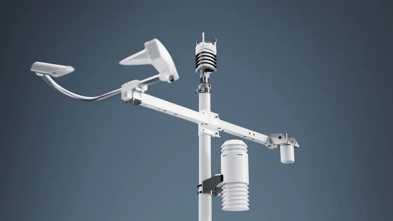
The new contract provides for the installation of a solar-powered automated weather station, a high-resolution road/sky camera, embedded road sensors and road-weather forecasting from MetService.
The Crown Range Road can be significantly impacted by severe weather events all year, with snow and ice making the road dangerous for users during the cooler months of May to September. Reduced visibility, strong winds and heavy rainfall events can also impact the road at any time of the year.
The new weather station and auxiliaries will deliver data on the prevailing real-time and expected conditions and the road’s environmental status and provide MetService’s road-weather forecasters with dynamic information, enabling them to prepare accurate guidance and decision-support insights for QLDC and road maintenance contractor Downer.
It will provide updates every minute and, together with the embedded sensors, deliver air and road temperatures, road status, dew point, humidity, wind direction and speed, rainfall and associated road weather data.
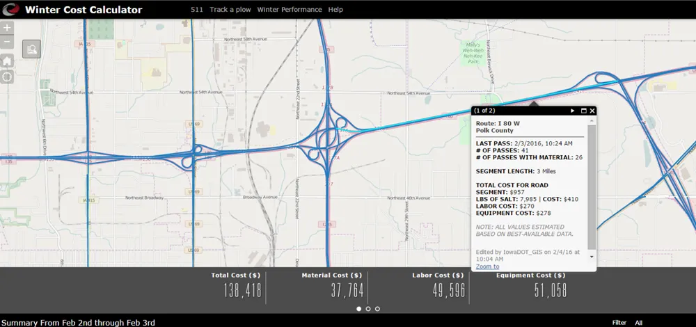
The data will be communicated via a cellular network into the MetService MetConnect weather dashboard and the new Foreca (MetService’s new Scandinavian road weather partner) high-resolution road visualisations that will model road conditions every 30 metres over the road’s entire 25 kilometres.
Under the contract, MetService will provide QLDC and Downer with onsite training and will be responsible for the provision of data and the regular maintenance, upgrades and performance verifications of the equipment in the field.
New Zealand council deploys road-weather data service on alpine road
Queenstown Lakes District Council (QLDC), New Zealand, is set to receive accurate road-weather data for the alpine Crown Range road this winter following the signing of a five-year decision-support contract with MetService.