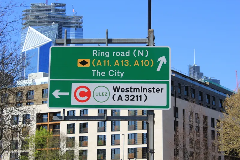
New plans to allow local councils in Great Britain the freedom to cut down the number of road markings and signs have been announced by Roads Minister Robert Goodwill.
The changes are included in a new consultation which also contains proposals for clearer road markings and new low-level signals for cyclists which will help improve safety on the roads.
May 2, 2014
Read time: 2 mins
New plans to allow local councils in Great Britain the freedom to cut down the number of road markings and signs have been announced by Roads Minister Robert Goodwill.
The changes are included in a new consultation which also contains proposals for clearer road markings and new low-level signals for cyclists which will help improve safety on the roads.
The proposals will reduce the number of signs that the1837 Department for Transport will need to authorise and streamline the approval process for councils, cutting regulation.
Announcing the plans, Goodwill said: "The number of signs has soared from two million in 1993 to over 4.6 million today. This is causing unnecessary clutter in our towns and cities. The proposed changes will mean greater flexibility for councils to cut the number of signs, whilst ensuring consistency and making sure our roads are even safer for cyclists and motorists."
The changes will mean road users will have signs that are easier to understand and could cut clutter on the roads. The proposals will also look to relax regulations for parking bays and yellow-box junctions to give local councils greater flexibility in designing road layouts and markings.
The Department for Transport also plans to introduce a range of measures to help local authorities make roads safer for cyclists and encourage more people to take to two wheels. These include: bigger cycle boxes at traffic lights to make it safer for cyclists at junctions; low-level traffic light signals and filters that give cyclists a 'head start' on other traffic; the roll-out of shared crossings for pedestrians and cyclists which allow those on a bicycle to CROSS the road safety; and removing the 'lead-in' lanes at advance stop lines, which force cyclists to enter a cycle box alongside the kerb.
The Department has worked closely with local councils, traffic authorities, sign makers and consultants to revise the Traffic Signs Regulations and General Directions (TSRGD), which offers clear guidance to local councils on road signs and makings.
As part of the consultation, the Department is also holding nine events across Great Britain to explain the improvements and proposed changes to over 700 practitioners.
The changes are included in a new consultation which also contains proposals for clearer road markings and new low-level signals for cyclists which will help improve safety on the roads.
The proposals will reduce the number of signs that the
Announcing the plans, Goodwill said: "The number of signs has soared from two million in 1993 to over 4.6 million today. This is causing unnecessary clutter in our towns and cities. The proposed changes will mean greater flexibility for councils to cut the number of signs, whilst ensuring consistency and making sure our roads are even safer for cyclists and motorists."
The changes will mean road users will have signs that are easier to understand and could cut clutter on the roads. The proposals will also look to relax regulations for parking bays and yellow-box junctions to give local councils greater flexibility in designing road layouts and markings.
The Department for Transport also plans to introduce a range of measures to help local authorities make roads safer for cyclists and encourage more people to take to two wheels. These include: bigger cycle boxes at traffic lights to make it safer for cyclists at junctions; low-level traffic light signals and filters that give cyclists a 'head start' on other traffic; the roll-out of shared crossings for pedestrians and cyclists which allow those on a bicycle to CROSS the road safety; and removing the 'lead-in' lanes at advance stop lines, which force cyclists to enter a cycle box alongside the kerb.
The Department has worked closely with local councils, traffic authorities, sign makers and consultants to revise the Traffic Signs Regulations and General Directions (TSRGD), which offers clear guidance to local councils on road signs and makings.
As part of the consultation, the Department is also holding nine events across Great Britain to explain the improvements and proposed changes to over 700 practitioners.


