Climbing through the Southern Alps, State Highway 94 is one of the highest highways in New Zealand. It includes the Milford Road which stretches from Te Anau through Fiordland National Park to Milford Sound and the high-altitude alpine conditions, a steep and rugged terrain that can be beset by floods and avalanches, can pose significant risks.
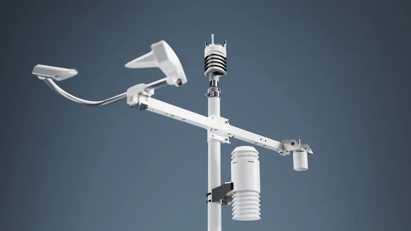
To keep the road safely open as much as possible, the Alliance operates specialised weather and environmental data acquisition devices at both road and mountain levels. Information from these systems is supplied to MetService forecasters to provide regular expert interpretation.
For the 2017 winter season, MetService is providing the Alliance with several new and enhanced forecast services, including severe weather threat matrices covering the threat of snow, strong winds, and heavy rain with free air freezing level (FAFL). In addition, animating rainfall, snow and cloud ceiling forecast maps are being provided. Site-specific rainfall and temperature probability forecasts complete the picture in term of value-added forecast services, while significant improvements to the distribution and communication of data and forecasts have been made.
The new services complement those currently provided by MetService to the Alliance and are designed to assist informed decision-making about the management of the road at an operational level including mitigating the risks posed by avalanches.
MetService to supply road weather information to New Zealand road alliance
The Milford Road Alliance, a partnership between the New Zealand Transport Agency and Downer NZ to ensure the safe and efficient management of activities on State Highway 94, is to implement new and enhanced weather forecast services from MetService. Climbing through the Southern Alps, State Highway 94 is one of the highest highways in New Zealand. It includes the Milford Road which stretches from Te Anau through Fiordland National Park to Milford Sound and the high-altitude alpine conditions, a steep and r
May 9, 2017
Read time: 2 mins
The Milford Road Alliance, a partnership between the 6296 New Zealand Transport Agency and Downer NZ to ensure the safe and efficient management of activities on State Highway 94, is to implement new and enhanced weather forecast services from MetService


