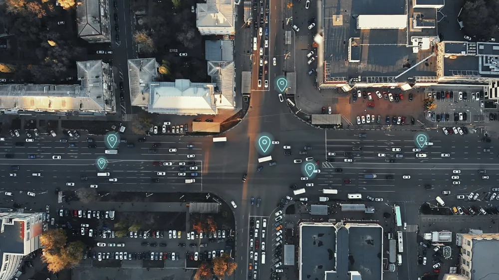
Austria’s Federal State of Niederösterreich has been successfully using Gewi’s TIC software solution to create and distribute information on winter road conditions and work zones for the state’s14,000 kilometre road network. During the winter season, each of the fifty-eight road maintenance departments reports current road conditions in their district to the TIC system, which creates an overview report on which districts have snowfall, road conditions, the highest/lowest temperature, snow chain requirements
February 14, 2013
Read time: 2 mins
Austria’s Federal State of Niederösterreich has been successfully using 1862 Gewi’s TIC software solution to create and distribute information on winter road conditions and work zones for the state’s14,000 kilometre road network.
During the winter season, each of the fifty-eight road maintenance departments reports current road conditions in their district to the TIC system, which creates an overview report on which districts have snowfall, road conditions, the highest/lowest temperature, snow chain requirements, etc. The data is exported in MS Word format, including a map showing all districts and their information.
The information is referenced to a network and automatically distributed to customers such as traffic information centres. Historical data is exported into a file which is used to create statistics using third party tools to analyse data each month.
During the construction season, TIC is also used to create and distribute information about work zones, managing the complex information structure of work zones, including data on individual work phases, including traffic and duration of delays; network location, diversions, lanes, maximum height and maximum weight.
Work zone information is also automatically distributed to customers such as traffic information centres, and, as with winter road conditions, historical data is exported into a file which is used to create statistics using third party tools to analyse data each month.
According to Gewi, its TIC software product features a modular architecture which helps organisations quickly and cost-effectively establish their own systems. The latest generation of the software provides the flexibility to easily collect, store and distribute virtually any type of data, and exchange and harmonise data between a wide range of systems.


