Frankfurt airport in Germany has installed new intermodal displays in Terminals 1 and 2 to provide passengers and visitors with information for their onward journey. In English and German, the displays include departures from the airport’s railway stations, bus schedules, the latest highway traffic information and available car and bike-sharing options.
In addition to real-time information on possible delays, the bus and rail displays also show the walking time to the nearest station. Car users can get
Frankfurt airport in Germany has installed new intermodal displays in Terminals 1 and 2 to provide passengers and visitors with information for their onward journey. In English and German, the displays include departures from the airport’s railway stations, bus schedules, the latest highway traffic information and available car and bike-sharing options.
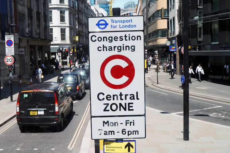
In addition to real-time information on possible delays, the bus and rail displays also show the walking time to the nearest station. Car users can get information about congestion and traffic jams, the routes affected and the resulting additional travel time.
In addition to real-time information on possible delays, the bus and rail displays also show the walking time to the nearest station. Car users can get information about congestion and traffic jams, the routes affected and the resulting additional travel time.