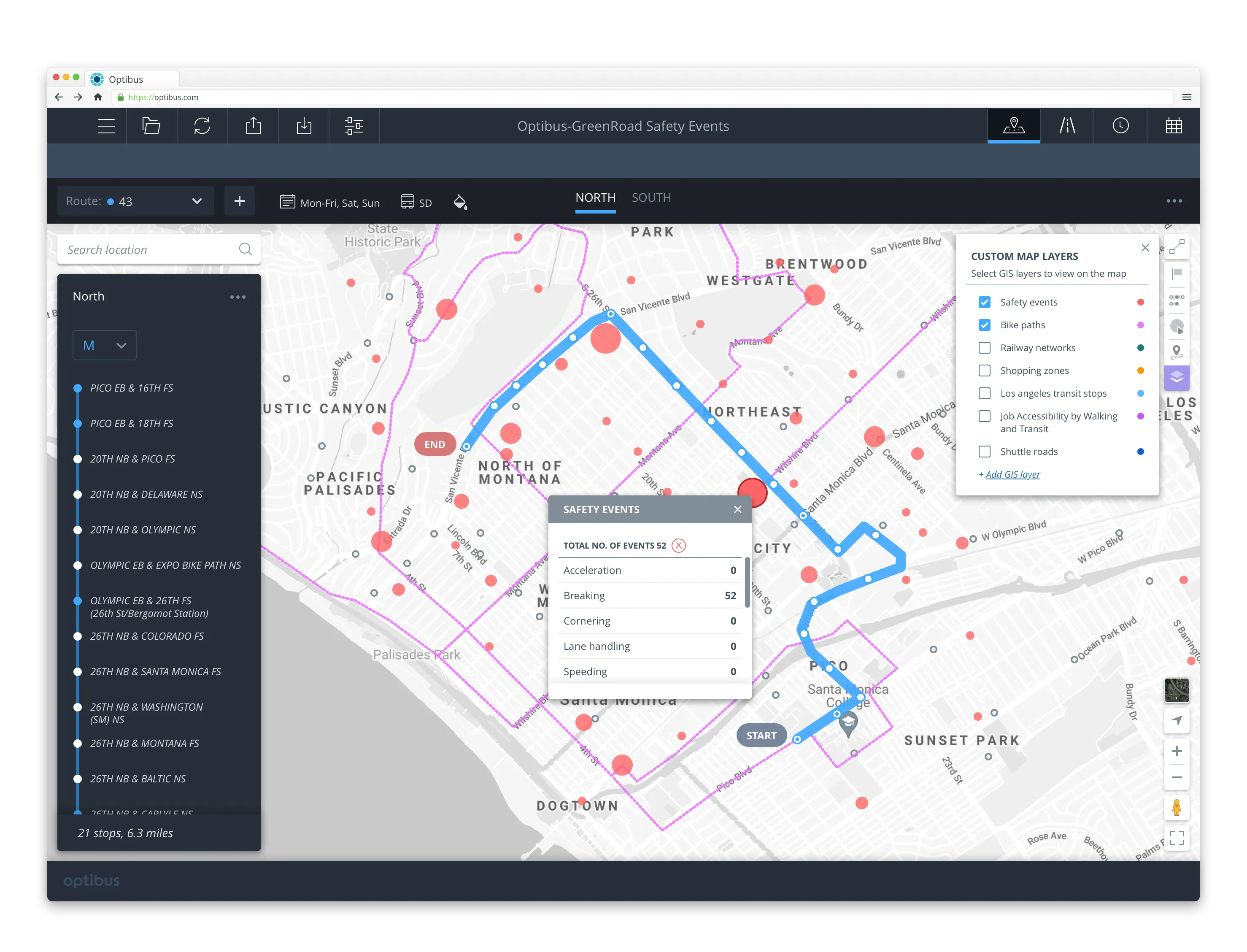
A project has been launched to produce city-wide visualisations of air quality through combining EarthSense Systems' (ESS) ordnance survey (OS) geospatial data and real-time air quality data.
The technology, a joint venture between Bluesky and University of Leicester, is being used to highlight areas of higher pollution and allows users to identify cleaner air routes such as parks or canal routes.
ESS captures measurements on air quality through using a zephyr sensor and a city-wide network of sensors. It delivers data forecasting, master planning and confirms cleaner cycling routes by combining with other inputs such as satellite observations, weather conditions and traffic emission data in its MappAir modelling solution. The data is available hourly, with a three day forecast, and historically, with resolutions ranging from 1m for detailed study areas to 10m for full city maps, and 100m for the national picture.
The OS Open Greenspace product is used to communicate EarthSense’s modelled air quality levels; depicting the location and extent of recreational and leisure facilities. The features included within the data are parks, play spaces, golf courses and allotments. In addition, the OS Maps app allows users to view the greenspace information and assists them with locating greenspaces in their local area.
Philip Wyndham, strategic development manager at the Ordance survey, said, “The insights gained from such modelling can also be used by policy makers and city planners to make practical interventions around mitigating hot spots – such as traffic light phasing, coordination of streetworks or correctly maintained urban trees and hedges which can trap many harmful pollutants."
EarthSense Systems reveals cleaner air routes in city-wide project
A project has been launched to produce city-wide visualisations of air quality through combining EarthSense Systems' (ESS) ordnance survey (OS) geospatial data and real-time air quality data. The technology, a joint venture between Bluesky and University of Leicester, is being used to highlight areas of higher pollution and allows users to identify cleaner air routes such as parks or canal routes. ESS captures measurements on air quality through using a zephyr sensor and a city-wide network of sensors.
October 13, 2017
Read time: 2 mins


