EarthSense Systems reveals cleaner air routes in city-wide project

A project has been launched to produce city-wide visualisations of air quality through combining EarthSense Systems' (ESS) ordnance survey (OS) geospatial data and real-time air quality data. The technology, a joint venture between Bluesky and University of Leicester, is being used to highlight areas of higher pollution and allows users to identify cleaner air routes such as parks or canal routes. ESS captures measurements on air quality through using a zephyr sensor and a city-wide network of sensors.
October 13, 2017 Read time: 2 mins

A project has been launched to produce city-wide visualisations of air quality through combining EarthSense Systems' (ESS) ordnance survey (OS) geospatial data and real-time air quality data.

The technology, a joint venture between Bluesky and University of Leicester, is being used to highlight areas of higher pollution and allows users to identify cleaner air routes such as parks or canal routes.

ESS captures measurements on air quality through using a zephyr sensor and a city-wide network of sensors. It delivers data forecasting, master planning and confirms cleaner cycling routes by combining with other inputs such as satellite observations, weather conditions and traffic emission data in its MappAir modelling solution. The data is available hourly, with a three day forecast, and historically, with resolutions ranging from 1m for detailed study areas to 10m for full city maps, and 100m for the national picture.

The OS Open Greenspace product is used to communicate EarthSense’s modelled air quality levels; depicting the location and extent of recreational and leisure facilities. The features included within the data are parks, play spaces, golf courses and allotments. In addition, the OS Maps app allows users to view the greenspace information and assists them with locating greenspaces in their local area.

Philip Wyndham, strategic development manager at the Ordance survey, said, “The insights gained from such modelling can also be used by policy makers and city planners to make practical interventions around mitigating hot spots – such as traffic light phasing, coordination of streetworks or correctly maintained urban trees and hedges which can trap many harmful pollutants."

Related Content

  • New approach to data handling aids development of smarter cities
    January 11, 2013
    David Crawford has been to the Irish capital to see a potent memorandum of understanding at work. An imaginative collaboration between the world’s largest IT company and one of Europe’s smaller capital cities is demonstrating a new approach to data handling that could have far reaching implications for urban public transport worldwide. A close working relationship between IBM and Dublin City Council (DCC) dates from 2010. The IT giant was looking for a local transport authority as partner for testing IBM’s
  • Automated valet parking demonstrations held in Greenwich
    December 14, 2017
    The latest stage of the Gateway research programme, led by TRL in collaboration with The Royal College of Art (RCA), Gobotix and DG Cities has selected a range of participants to take part in automated valet parking in the borough of Greenwich, London. The trial aims to simulate real-world opportunities of connected and autonomous vehicles as well as provide an opportunity to inform thinking on its future deployment in cities. Using a bespoke extension of the Gobotix remote driver assistance service app
  • UK city bids for programme to develop EAPC hubs
    August 5, 2015
    Leicester City Council in the UK and Leicester-based sustainable travel specialist, Go Travel Solutions have submitted a bid for a major programme to develop Electrically Assisted Pedal Cycle (EAPC) hubs. They successfully progressed through the Expression of Interest stage and a full application has now been submitted to apply for a share of the US$778,500 funding that the Department for Transport has made available for cities, rural areas and tourism hotspots in England, outside of London, to develop shar
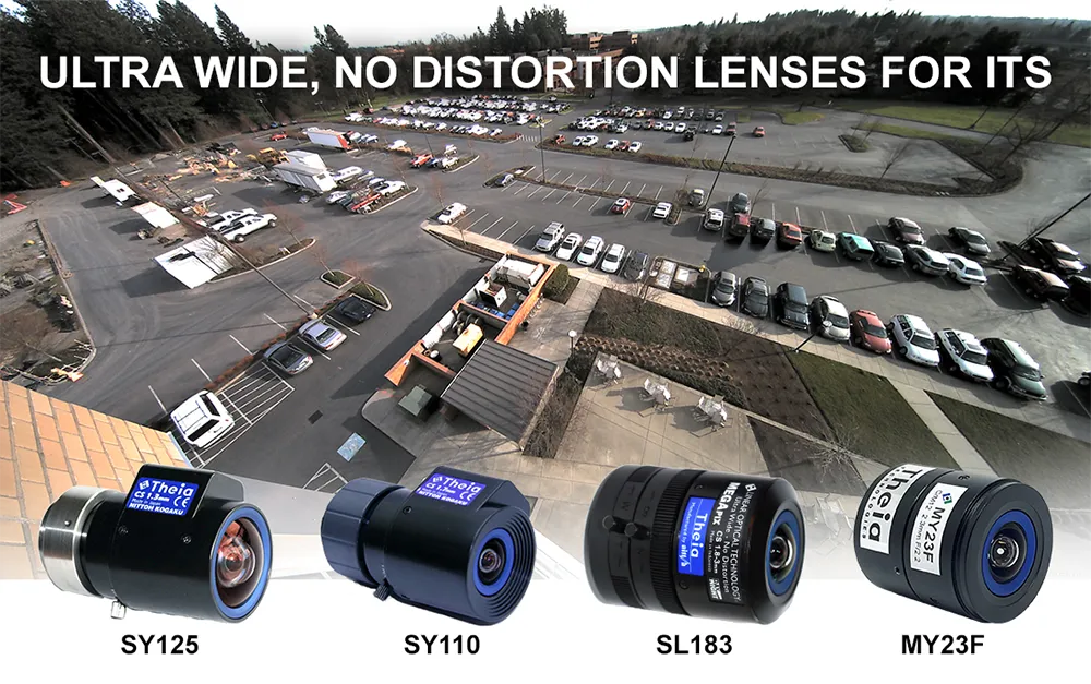
  • Theia develops innovative distortion-free ultra-wide-angle lenses
    October 26, 2022
    Today’s high-resolution cameras have many advantages if they have the right lens for the job. When that includes covering large areas or reducing cost by installing fewer cameras, you need a wide-angle lens. Fisheye style lenses with barrel distortion are routinely used to cover an ultra-wide field of view; however, they create a curved and distorted image which causes significant loss of resolution at the image edges. This presents a variety of issues for ITS applications such as difficulty in identification or recognition of objects and details.