UK-based EarthSense's air quality services are now included as part of the Crown Commercial Service’s (CCS) Transport Technology and Associated Services Framework (TTAS).
The CCS is an executive agency and trading fund of the Cabinet Office of the UK Government. The TTAS provides central government and the public sector with transport-related technology.
EarthSense says it has been added to Lot 5: Sustainable Transport Technologies, enabling central government, UK wider public sector and UK public sector arm’s length bodies to apply for air quality monitoring services directly through the framework or with invitations to tender.
The agreement with the CCS provides transport customers with access to pollution monitoring technology.
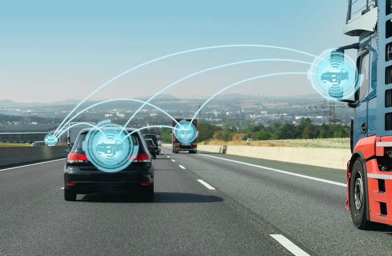
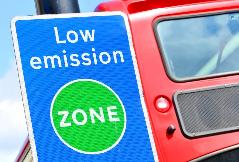
Authorities and transport companies can explore the links between transport and air pollution using EarthSense's services. Customers can identify hotspot areas, sources, and peak times, and can trial mitigations, such as timed road closures or clean air zones, prior to implementing strategies in real-life scenarios to help work towards cleaner and safer air quality.
Earthsense's Zephyr monitors allow customers to measure various gases and particulate matter in ambient air in real-time as part of static or mobile applications, together with temperature, pressure and humidity.
Measurements and pollution models can be integrated with existing systems via an application programming interface (API) or can be sent back to EarthSense’s MyAir web application, where customers can analyse data to understand air pollution from its source to dispersion in detail.
The web application also offers MappAir pollution modelling, which EarthSense insists adds context to measurements by plugging the gaps where Zephyr monitors have not been installed.
The company also provides its MappAir air quality model with the option to integrate modelling data into existing systems alongside Zephyr measurements via API or through MyAir.
According to EarthSense, the model provides visualisations of how pollutants disperse and flow around buildings and urban canyons, enabling transport companies and governments to understand how congestion and vehicle emissions are contributing to unsafe pollution exposure.
Data is available in near real-time, historically and as a forecast on a global (40km resolution), national (100m resolution) and city scale (up to 2m resolution).
EarthSense managing director Tom Hall says: “Adding our pollution monitoring services to the CCS TTAS framework allows us to become more accessible to other governing bodies and public transport companies to help work towards sustainability and our goal of net zero by 2050. Further expanding our services across the country will not only benefit companies working towards air quality targets but will also mean that members of the public can breathe easier and live healthier lives as a result of pollution monitoring and mitigation.”