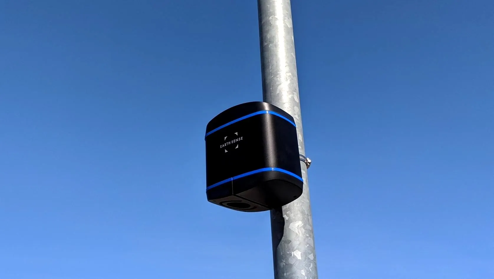
EarthSense app to identify clean air routes for UK cyclists

UK-based air quality specialists EarthSense is developing an app which will identify and map clean air routes for people cycling or exercising. The company says the application could also help wider clean air strategies when combined with population movement data. According to EarthSense, collating this data would allow key decision makers to identify popular exercise routes and target resources to improve air quality at these locations. The app is being funded by the European Space Agency's grant
August 14, 2018 Read time: 2 mins

UK-based air quality specialists EarthSense is developing an app which will identify and map clean air routes for people cycling or exercising. The company says the application could also help wider clean air strategies when combined with population movement data.

According to EarthSense, collating this data would allow key decision makers to identify popular exercise routes and target resources to improve air quality at these locations.

The app is being funded by the European Space Agency's grant programme Project CARAMEL (Clean Air Routing and Mobile Exposure Limitation).

The CARAMEL app uses space-based data, traffic simulation data, open data and public transport data with big data analytics. The solution will feature an air quality data model and routing system, an online mapping portal as well as reports on weekly pollution levels.

EarthSense is working with Leeds City Council and Aimsun to assess the app and online system's feasibility and commercial opportunities.

Related Content

  • Siemens launches Zephyr air monitoring
    July 3, 2020
    Integrated with traffic management systems, it measures a range of pollutants
  • Integrated weather and traffic data aids winter maintenance
    October 10, 2012
    A US pooled fund study group has developed a system of software aimed at taking the concept of winter maintenance decision support to a new level – a scientific ‘one-stop-shop’ of weather and service performance data. This report is by Charles Chambers and Benjamin Hershey. With advancements in environmental technology come new systems that assist agencies with better management of winter roadway maintenance resources. In the late 1990s the US Federal Highway Administration (FHWA) began work developing a pr
  • Getting more for less from traffic data
    August 15, 2012
    Collection of traffic and transit data has grown significantly, combining with advances in connectivity and computational modelling to good effect. Desire to do more with less – to make budgets go further – has helped create a boom in the collection and study of traffic and transport data. Studies are becoming longer, greater in number and further in-depth as more intelligence is sought, plus, transportation agencies are looking to make processes of data collection less costly, or more efficient.
  • Aimsun helps TfL retain detail in traffic modelling
    September 25, 2015
    Transport for London (TfL) has selected Transport Simulation Systems’ Aimsun modelling software following a lengthy evaluation. With London’s population predicted to reach 10million by 2030, the authority needed to increase its modelled area by a factor of 10 to more than 2,300km2 along with improved cyclist, pedestrian and air quality predictions. For a market assessment it divided its modelling requirements into three categories: tactical - for city wide policy evaluation, micro-simulation for modelli