The Arkansas State Highway and Transportation Department (AHTD) has selected Iteris’ cloud-based maintenance decision support system (MDSS), ClearPath Weather, to provide state-wide weather forecasting services for improved winter road maintenance response.
ClearPath Weather will provide AHTD with web-based access to high-resolution pavement weather forecasting and treatment alternatives at designated locations around the state during winter weather events. Additionally, AHTD will have available use of I
November 11, 2014
Read time: 2 mins
The 770 Arkansas State Highway and Transportation Department (AHTD) has selected 73 Iteris’ cloud-based maintenance decision support system (MDSS), ClearPath Weather, to provide state-wide weather forecasting services for improved winter road maintenance response.
ClearPath Weather will provide AHTD with web-based access to high-resolution pavement weather forecasting and treatment alternatives at designated locations around the state during winter weather events. Additionally, AHTD will have available use of Iteris’ ClearPath Weather severe weather advisories and alert services, as well as 24/7 direct access to Iteris meteorologists forecasting from the firm’s state-of-the-art Weather Operations Center in Grand Forks, North Dakota.
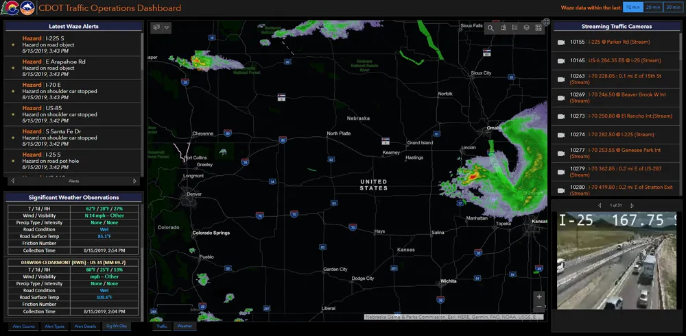
ClearPath Weather is based on Iteris’ proprietary Highway Condition Analysis and Prediction System (HiCAPS) pavement condition model. ClearPath Weather also leverages Iteris’ ClearPath application programming interface with the power of big data and the experience of in-house staff of meteorologists and data scientists. The cloud-based MDSS solution features an easy-to-use interface with state-of-the-art visualisation tools and mapping that allow state and local agency maintenance managers to access real-time information such as looping radar, satellite imagery, weather forecasts, plough location and route-specific weather and pavement conditions.
“We look forward to assisting Arkansas snow and ice decision makers with real-time, hyper-local weather information and direct access to our staff of meteorologist experts during severe winter weather events,” said Tom Blair, senior vice president, iPerform at Iteris.


