Michigan’s Road Commission for Oakland County (RCOC) has revamped its online real-time traffic map, making the congestion-monitoring tool simpler, easier and faster to use. The changes allow users to see congestion levels on county roads across Oakland County, thanks to data provided by RCOC’s Faster and Safer Travel through Traffic Routing and Advanced Controls (Fast-Trac) adaptive traffic-signal system. Fast-Trac detects the volume of traffic moving in each direction at equipped intersections and uses th
June 24, 2013
Read time: 2 mins
Michigan’s Road Commission for Oakland County (RCOC) has revamped its online real-time traffic map, making the congestion-monitoring tool simpler, easier and faster to use.
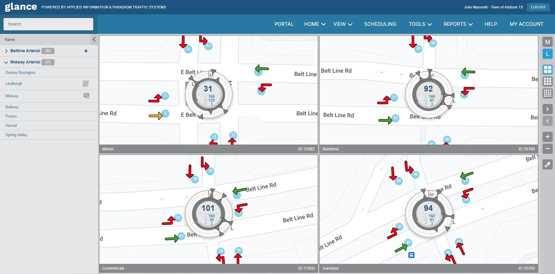
The changes allow users to see congestion levels on county roads across Oakland County, thanks to data provided by RCOC’s Faster and Safer Travel through Traffic Routing and Advanced Controls (Fast-Trac) adaptive traffic-signal system. Fast-Trac detects the volume of traffic moving in each direction at equipped intersections and uses that data to determine, in real time, the most efficient timing for the traffic signal or corridor.
A cooperative agreement with the1688 Michigan Department of Transportation (MDOT) means the map also shows real-time traffic congestion data for MDOT freeways in the county, making it one of the few in the country that shows real-time congestion levels for both local roads and freeways. The map also provides access to MDOT freeway cameras, changeable message signs and construction project information.
“Ours was the first real-time traffic-information map for non-freeway roads in the nation when it was launched in 1999,” observed RCOC chairman Greg Jamian. “We have regularly updated it over the years as the technology has evolved.”
“Not only is our Fast-Trac system improving the safety and efficiency of our road system, it’s also providing useful travel information to motorists,” Jamian said. “This is one of the most advanced traffic signal systems in the country, and the second largest such system in North America. This type of real-time congestion information for non-freeway roads is simply not available in most of the country.”
The changes allow users to see congestion levels on county roads across Oakland County, thanks to data provided by RCOC’s Faster and Safer Travel through Traffic Routing and Advanced Controls (Fast-Trac) adaptive traffic-signal system. Fast-Trac detects the volume of traffic moving in each direction at equipped intersections and uses that data to determine, in real time, the most efficient timing for the traffic signal or corridor.
A cooperative agreement with the
“Ours was the first real-time traffic-information map for non-freeway roads in the nation when it was launched in 1999,” observed RCOC chairman Greg Jamian. “We have regularly updated it over the years as the technology has evolved.”
“Not only is our Fast-Trac system improving the safety and efficiency of our road system, it’s also providing useful travel information to motorists,” Jamian said. “This is one of the most advanced traffic signal systems in the country, and the second largest such system in North America. This type of real-time congestion information for non-freeway roads is simply not available in most of the country.”


