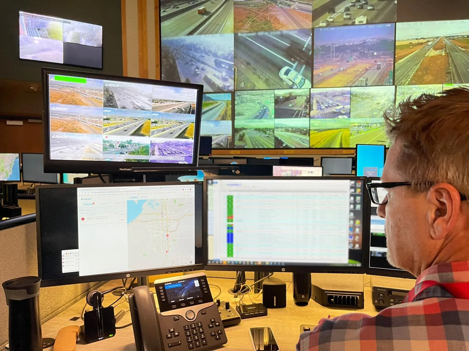
US traffic information provider AccuWeather is to integrate Inrix real-time traffic and incident information, travel times and traffic camera images into its StoryTeller traffic app. AccuWeather customers receive the same traffic information used by leading vehicle manufacturers, commercial fleets, departments of transportation and news organisations worldwide. The Inrix traffic intelligence platform analyses real-time data from over a hundred sources including traditional road sensors, official accident an
April 12, 2013
Read time: 2 mins
US traffic information provider AccuWeather is to integrate 163 Inrix real-time traffic and incident information, travel times and traffic camera images into its StoryTeller traffic app.
AccuWeather customers receive the same traffic information used by leading vehicle manufacturers, commercial fleets, departments of transportation and news organisations worldwide. The Inrix traffic intelligence platform analyses real-time data from over a hundred sources including traditional road sensors, official accident and incident reports as well as crowd-sourced information from millions of vehicles and devices to provide drivers with up to the minute travel information.
StoryTeller is a high-resolution touchscreen platform that offers an array of customisable applications that allow news centres and broadcasters to rapidly bring interactive stories to life for their audiences.
“With the integration of Inrix traffic information into our StoryTeller traffic app, our broadcast customers can create stories with up-to-the-minute insight into travel conditions for every highway, interstate and local road across North America,” said Ryan Ayres, vice president of AccuWeather’s display systems and services division. “They can now enhance these stories with a variety of viewer-focused information such as accidents, road closures and the expected traffic impacts of local events like concerts and pro sports. With the ability to add the superior accuracy of AccuWeather’s weather information, customers can report the latest weather conditions as well as their impacts on traffic conditions on local roads.”


