California DOT (Caltrans) is installing electronic message signs in an effort to prevent or reduce congestion on the heavily used Interstate 10. Vehicle detection systems have also been installed on the 133 mile stretch of freeway to monitor traffic. The detection systems monitor speed and traffic volume, processing the data and transmitting it to the freeway message signs to give motorists real-time journey time estimates. "Changeable message signs will allow us to deliver information directly to drivers
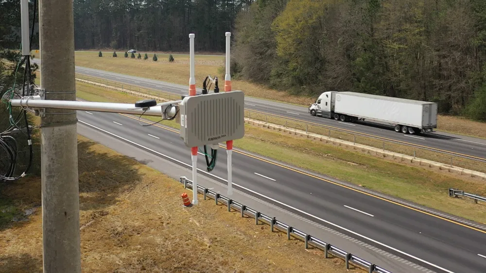
California DOT (3879 Caltrans) is installing electronic message signs in an effort to prevent or reduce congestion on the heavily used Interstate 10. Vehicle detection systems have also been installed on the 133 mile stretch of freeway to monitor traffic.
The detection systems monitor speed and traffic volume, processing the data and transmitting it to the freeway message signs to give motorists real-time journey time estimates.
"Changeable message signs will allow us to deliver information directly to drivers before they encounter large traffic back-ups," said Caltrans district 8 director Basem Muallem. "Motorists will be able to take an alternate route to avoid long delays."
The systems were implemented as part of the state's obligations under the Interstate 10 Lifeline Emergency Action Plan. The Board of Supervisors unanimously agreed in October to partner with the state and tribal governments on implementing the plan, inspired by a series of massive traffic jams on I-10 that left motorists stranded in the last several years, most recently in February 2012.
Caltrans spokeswoman Terri Kasinga said the detection systems' project had been under way since before last February's crunch, but state officials expedited it to meet the action plan goals.
"We are very pleased to see Caltrans move ahead with their pieces of the plan," said Juan Perez, director of the county's Transportation and Land Management Agency. "The traveller information projects will be completed by the end of this year with the larger freeway bypass projects coming later."