From September 2016, MetService and the New Zealand Transport Agency will commence a road weather mobile data acquisition trial, in conjunction with road contractors Fulton Hogan and Downer.
The aim of the trial is to provide MetService, the Transport Agency, road contractors and the travelling public with pre-warning of challenging and dangerous driving conditions or potential road closures during severe weather.
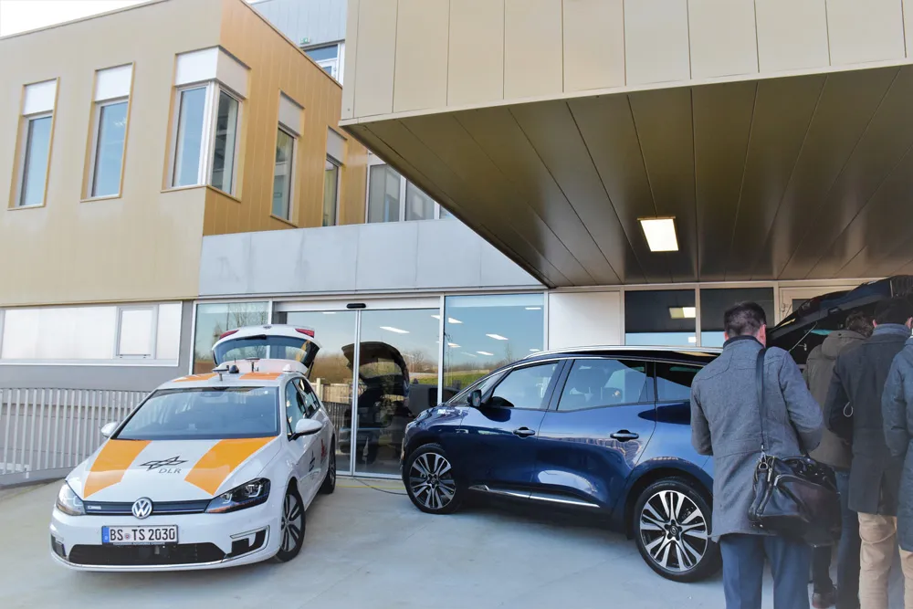
The six-month trial follows a pilot sensor-assessment process and aims to expand road
From September 2016, MetService and the 6296 New Zealand Transport Agency will commence a road weather mobile data acquisition trial, in conjunction with road contractors Fulton Hogan and Downer.
The aim of the trial is to provide MetService, the Transport Agency, road contractors and the travelling public with pre-warning of challenging and dangerous driving conditions or potential road closures during severe weather.
The six-month trial follows a pilot sensor-assessment process and aims to expand road weather observation assets by evaluating the use of a range of vehicle-mounted sensors for monitoring road weather conditions across the network.
As the vehicles travel the road network, they transmit real-time data continuously to provide observations of road and air temperature, rain, snow, slush, water film height, ice content, humidity and dew point temperature. Some of the sensors are capable of taking measurements up to 100 times per second. Data can be viewed on smartphones connected to the sensors by Bluetooth and transmitted on cellular networks for subsequent analysis.
The data collected will deliver key insights for improving road weather forecasting and road safety in locations for which there is currently no weather information available.
MetService says this technology will help enhance road weather modelling systems and provide access to a wide range of previously unavailable data to assist with planning and operational activities.
Drivers of the sensor vehicles have immediate access to data to inform them of dangerous driving conditions, and fleet operators will have better quality, more timely information for fleet management.
Data from mobile sensors will complement information from MetService’s existing road weather station network, which covers over 40 state highway trouble spots.