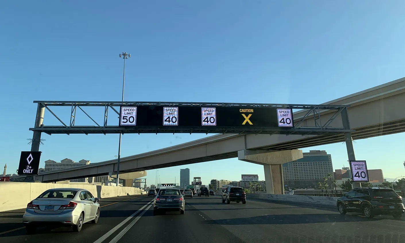
Atlanta deploys Bluetooth-based DMS to help improve travel times

The Cobb County Department of Transportation (CCDOT) in Georgia, USA, has activated six full-colour dynamic message signs (DMS) in the metropolitan Atlanta area in a bid to improve travel times and enable motorists to choose less-congested routes. The LED signs have been installed on Cobb Parkway, South Marietta Parkway, Roswell Road and Spring Road to provide travel time information for common destinations and indicate the congestion level related to specific routes in real time. Travel times on I-75 and C
May 10, 2017 Read time: 2 mins
The Cobb County Department of Transportation (CCDOT) in Georgia, USA, has activated six full-colour dynamic message signs (DMS) in the metropolitan Atlanta area in a bid to improve travel times and enable motorists to choose less-congested routes.


The LED signs have been installed on Cobb Parkway, South Marietta Parkway, Roswell Road and Spring Road to provide travel time information for common destinations and indicate the congestion level related to specific routes in real time.

Travel times on I-75 and Cobb Parkway appear in digits that are green, yellow or red, depending on the average speed of the roadway. Green digits indicate near free-flow speeds, yellow digits indicate moderate speeds and red digits indicate slow conditions. Public service announcements as well as information related to incidents, construction and special events also will appear on the signs.

The travel time messages use real-time data collected by a recently expanded travel time system, which now covers many major arterials within Cobb County and freeways in the Atlanta metro area. The data comes from detectors that collect anonymous electronic addresses from motorists’ 1835 Bluetooth and wi-fi-enabled mobile devices.

For more information on companies in this article

Related Content

  • New Orleans to implement ITS traffic management project
    July 12, 2012
    Louisiana Department of Transportation and Development Secretary Sherri H. LeBas has announced the New Orleans Core ITS project that will outfit the I-10 corridor, from Kenner to the Central Business District (CBD), I-610 and US 90 Business with 24 new surveillance cameras and eight dynamic message signs. These will be monitored and operated by staff at the regional transportation management centre. The aim is to improve travel by helping drivers avoid traffic congestion and use alternate routes, ultimately
  • SESA signs show flexibility
    June 14, 2016
    SES America has developed a new, more efficient way to display accurate travel times by collecting data directly from travel time providers such as Waze, TomTom or Google, eliminating the need to rely on a vast network of sensors deployed across a road network. "This is a new concept," said Philippe Perut, president, SES America. "Traditionally, large dynamic signs need to be connected to a larger system. We have a standalone sign that can operate independently. There's less risk and less investment for th
  • Vehicular networking architecture for local road weather services
    August 19, 2015
    The Finnish Meteorological Institute is currently testing two-way delivery of local weather data as Timo Sukuvaara explains. Road weather information is one of the key ways in which ITS can help reduce traffic accidents and fatalities – which is why the Finnish Meteorological Institute (FMI) has long provided road weather services. Now, the CoMoSeF (Cooperative Mobility Services of the Future) project has been developing communication methodologies to deliver road weather services directly to vehicles and g
  • South Nevada expands freeway safety tech 
    February 10, 2021
    $6m USDoT grant means US95 will get wrong-way sensors and sensors for HOV lanes