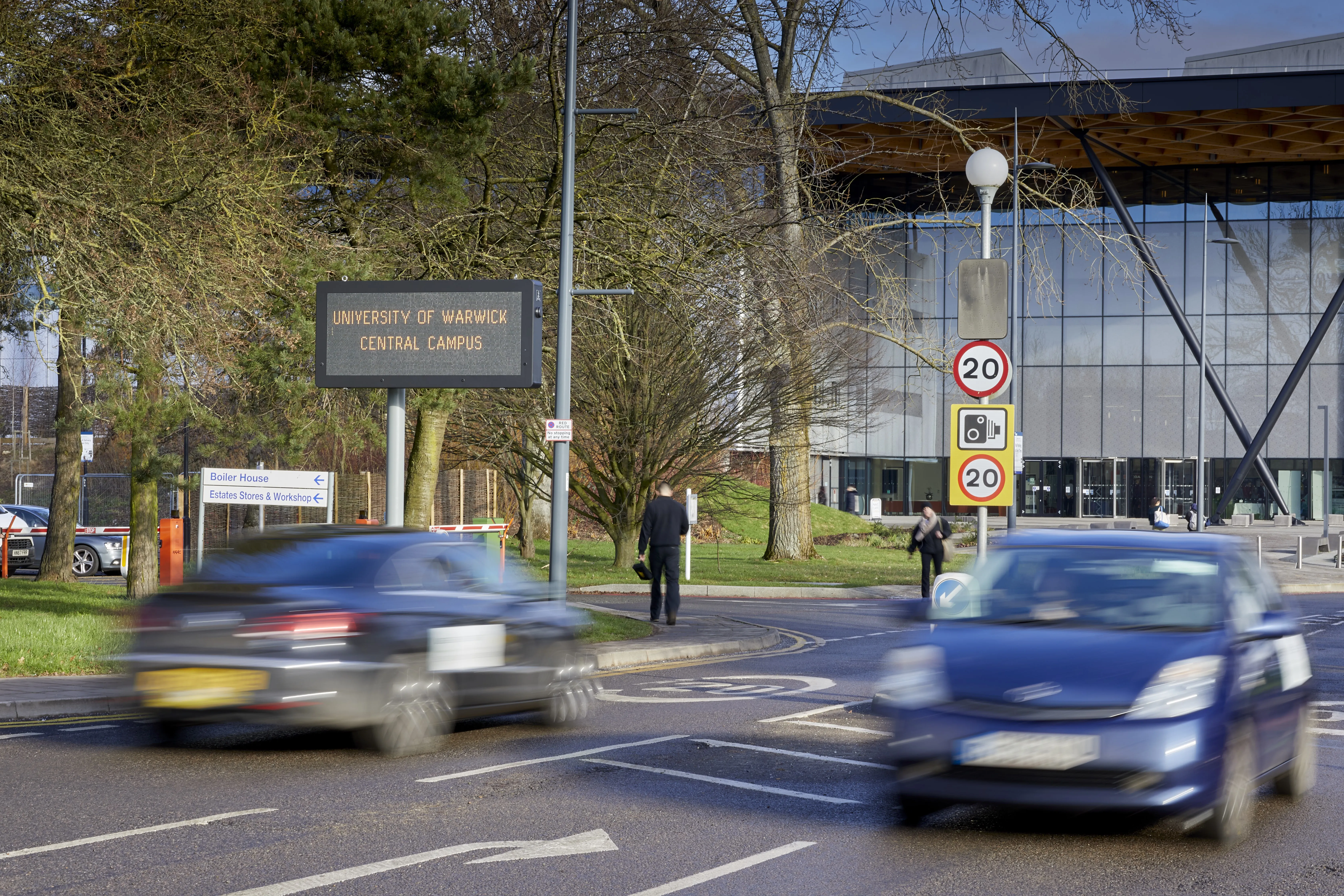
Atlanta deploys Bluetooth-based DMS to help improve travel times

The Cobb County Department of Transportation (CCDOT) in Georgia, USA, has activated six full-colour dynamic message signs (DMS) in the metropolitan Atlanta area in a bid to improve travel times and enable motorists to choose less-congested routes. The LED signs have been installed on Cobb Parkway, South Marietta Parkway, Roswell Road and Spring Road to provide travel time information for common destinations and indicate the congestion level related to specific routes in real time. Travel times on I-75 and C
May 10, 2017 Read time: 2 mins
The Cobb County Department of Transportation (CCDOT) in Georgia, USA, has activated six full-colour dynamic message signs (DMS) in the metropolitan Atlanta area in a bid to improve travel times and enable motorists to choose less-congested routes.


The LED signs have been installed on Cobb Parkway, South Marietta Parkway, Roswell Road and Spring Road to provide travel time information for common destinations and indicate the congestion level related to specific routes in real time.

Travel times on I-75 and Cobb Parkway appear in digits that are green, yellow or red, depending on the average speed of the roadway. Green digits indicate near free-flow speeds, yellow digits indicate moderate speeds and red digits indicate slow conditions. Public service announcements as well as information related to incidents, construction and special events also will appear on the signs.

The travel time messages use real-time data collected by a recently expanded travel time system, which now covers many major arterials within Cobb County and freeways in the Atlanta metro area. The data comes from detectors that collect anonymous electronic addresses from motorists’ 1835 Bluetooth and wi-fi-enabled mobile devices.

For more information on companies in this article

Related Content

  • Singapore extends real time message signs
    September 16, 2013
    Motorists in Singapore can look forward to improved real-time traffic information and better traffic flow as the country’s Land Transport Authority (LTA) begins works to enhance existing electronic signboards along the expressways. The 380 existing island-wide expressway motoring advisory system (EMAS) electronic signs will be replaced with thirteen new signs. The new signs will be more readable, as they can display text and simple graphics in up to seven colours, including green, cyan and purple. The first
  • Wireless - the future of vehicle detection
    July 23, 2012
    Peter Cattell of Clearview Traffic analyses different wireless communications methods and explains how these are changing the face of vehicle detection. With the continued expansion of traffic data collection solutions, providing a robust, reliable, scalable and secure method of collecting information becomes increasingly important. Over many years, various mobile wireless technologies have been utilised to make the remote collection of data a reality but recent developments are changing the way that this w
  • Travel times halve for tolling converts
    August 5, 2013
    The Port Mann Bridge in Vancouver is a prime example of how the latest ITS systems enable new infrastructures to be built and paid for while still providing additional user benefits. Vancouver has 2.2 million inhabitants and, like so many major cities, is divided into two by a river, the Frazer river. This combination makes Vancouver the second most congested city in North America and the most congested in Canada. Through the middle of the city runs the Trans-Canadian Highway 1 which crosses the Frazer Riv
  • Swarco parks up at Warwick University
    May 28, 2020
    Warwick needed to maximise available parking across 27 on-campus car parks