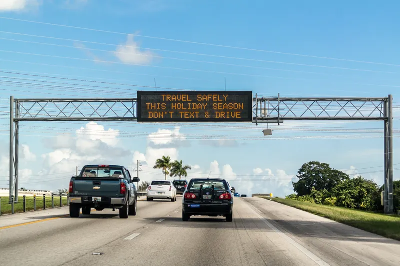
The California Department of Transportation (Caltrans) recently completed a smart corridor project on State Route 12 in Solano, Sacramento and San Joaquin counties, and I-5 in San Joaquin County.
The project utilises intelligent transportation system (ITS) technology for five electronic message signs and four closed-circuit TV cameras to provide drivers with up to date travel information, enabling them to choose an alternate route in the event of congestion or roadway incidents.
October 14, 2013
Read time: 2 mins
The 923 California Department of Transportation (Caltrans) recently completed a smart corridor project on State Route 12 in Solano, Sacramento and San Joaquin counties, and I-5 in San Joaquin County.
The project utilises intelligent transportation system (ITS) technology for five electronic message signs and four closed-circuit TV cameras to provide drivers with up to date travel information, enabling them to choose an alternate route in the event of congestion or roadway incidents.
"This technology will make these highways safer for everyone and provide motorists real-time information they can use to make smart choices and steer clear of traffic incidents, roadwork, and bad weather," said Caltrans director Malcolm Dougherty.
This project is not Caltrans' first use of ITS technology to create smart corridors. Recent similar projects include a US$80 million project on I-80 in the Bay Area, which will better sync traffic signals with on-ramp meters and computerised highway signs to assist with rush hour traffic once completed; the San Mateo Smart Corridor project, in which ten San Mateo cities have partnered to deliver electronic message signs to guide drivers through detour routes during incidents, sensors to provide traffic volume information, and closed-circuit TV cameras to allow users to see traffic flow; and the creation of QuickMap, an ITS innovation that allows the public to access images from about 1,000 freeway cameras and see messages posted on more than 700 electronic highway message signs.


