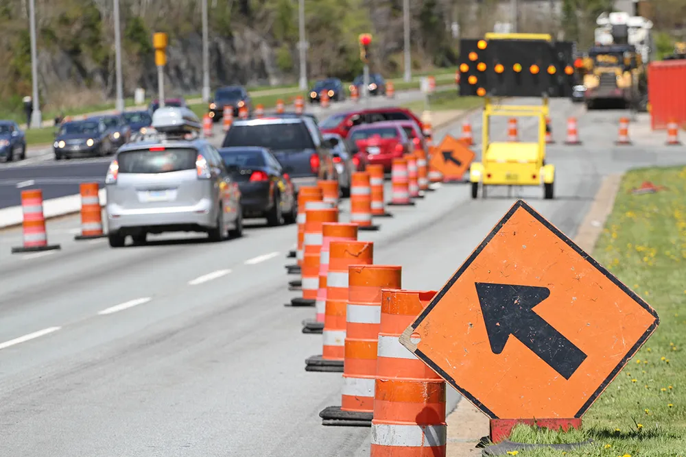
Commuters heading north on Wellington’s urban motorway will now get a smoother trip as the new lane is fully opened and New Zealand’s first smart motorway is turned on in the northbound direction.
Using variable speed limits, which will be adjusted in real time in response to changing traffic conditions, the smart motorway will pace vehicles to smooth the traffic flow. Officials say this will result in safer journeys with more predictable travel times. It will also free up nearby roads for better public
Commuters heading north on Wellington’s urban motorway will now get a smoother trip as the new lane is fully opened and New Zealand’s first smart motorway is turned on in the northbound direction.
Using variable speed limits, which will be adjusted in real time in response to changing traffic conditions, the smart motorway will pace vehicles to smooth the traffic flow. Officials say this will result in safer journeys with more predictable travel times. It will also free up nearby roads for better public transport trips and for pedestrians and cyclists.
There are two types of signage on the motorway – variable message signs display information and messages, while lane control signs show either the speed limit or an X if the lane is closed.
Detectors and radars count vehicles and measure their speed. The smart system calculates the rate at which the road is getting congested, factors in what is likely to happen based on traffic records that are continually updated and monitored, and then adjusts the speed limit to pace the traffic and delay queues being formed.
The smart motorway reduces congestion by smoothing the traffic flow and maximising the number of vehicles that get through. As traffic builds, the system lowers the speed limit which allows vehicles to travel closer to each other, meaning more vehicles can fit on the road at any one time.