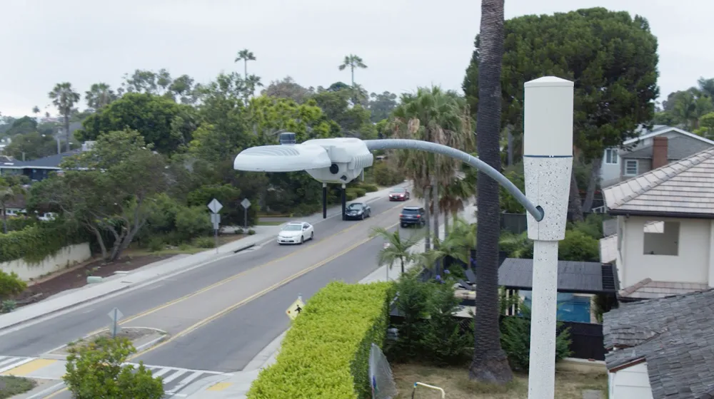
The Indiana Department of Transportation (INDOT) has deployed an end-to-end Proxim wireless network for a state-wide intelligent transportation system. The network connects traffic and video components over hundreds of square miles throughout the Northwest Indiana and Indianapolis areas.
January 30, 2012
Read time: 1 min
The 735 Indiana Department of Transportation (INDOT) has deployed an end-to-end 416 Proxim Wireless network for a state-wide intelligent transportation system. The network connects traffic and video components over hundreds of square miles throughout the Northwest Indiana and Indianapolis areas.
When we began rolling out this state-wide ITS, we knew that the cost to connect the hundreds of components via fibre would be completely cost-prohibitive,” says Troy Boyd, INDOT ITS technology deployment division director. “With Proxim’s end-to-end wireless solutions, we were able to deploy a single network consisting of wireless backhaul, unlicensed WiMAX and Wi-Fi that enabled us to connect and manage the entire ITS. As a result, we are able to deliver mission-critical traffic services to the citizens of Indiana in a fiscally responsible manner.”
When we began rolling out this state-wide ITS, we knew that the cost to connect the hundreds of components via fibre would be completely cost-prohibitive,” says Troy Boyd, INDOT ITS technology deployment division director. “With Proxim’s end-to-end wireless solutions, we were able to deploy a single network consisting of wireless backhaul, unlicensed WiMAX and Wi-Fi that enabled us to connect and manage the entire ITS. As a result, we are able to deliver mission-critical traffic services to the citizens of Indiana in a fiscally responsible manner.”


