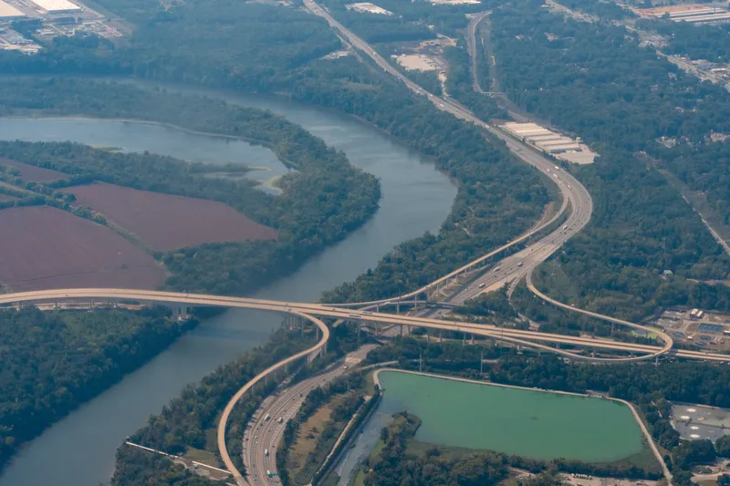
The Virginia Department of Transportation (VDOT) has begun work on installing an active traffic management |(ATM) system on interstate 66 through Arlington, Fairfax and Prince William counties from the Washington, DC line to Route 29 in Gainesville.
Designed and built by TransCore, the system is intended to improve safety and incident management and will include new sign gantries, shoulder and lane control signs, speed displays, incident and queue detection, and increased traffic camera coverage.
November 17, 2014
Read time: 2 mins
The 1747 Virginia Department of Transportation (VDOT) has begun work on installing an active traffic management |(ATM) system on interstate 66 through Arlington, Fairfax and Prince William counties from the Washington, DC line to Route 29 in Gainesville.
Designed and built by139 TransCore, the system is intended to improve safety and incident management and will include new sign gantries, shoulder and lane control signs, speed displays, incident and queue detection, and increased traffic camera coverage.
Sensors, traffic cameras and overhead signs will enable VDOT to change the signs to give drivers real time advance information on upcoming traffic, crashes, congestion or closed lanes. VDOT hopes that getting people out of closed lanes before they reach incidents will make the slowdowns less abrupt and less severe. If there is standard traffic, the signs could be changed to give drivers a warning about exactly how far away the congestion begins.
Although ATM is a relatively new concept in managing traffic in the United States, it is popular in Europe, such as the Highways Agency’s smart motorways project in the UK.
Designed and built by
Sensors, traffic cameras and overhead signs will enable VDOT to change the signs to give drivers real time advance information on upcoming traffic, crashes, congestion or closed lanes. VDOT hopes that getting people out of closed lanes before they reach incidents will make the slowdowns less abrupt and less severe. If there is standard traffic, the signs could be changed to give drivers a warning about exactly how far away the congestion begins.
Although ATM is a relatively new concept in managing traffic in the United States, it is popular in Europe, such as the Highways Agency’s smart motorways project in the UK.


